
Today we left Mackinaw City and headed north across the bridge. First stop was just north of the bridge to see the profile of Mackinac Island – the shorelines of glacial Lakes Nipissing and Algonquin were clearly visible.
Next, we headed up north to Cambrian age rocks at Tahquamenon Falls State Park and an up-close look at sandstone, cross bedding, and a conglomerate layer.
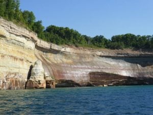
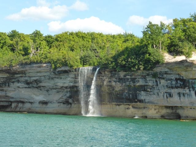
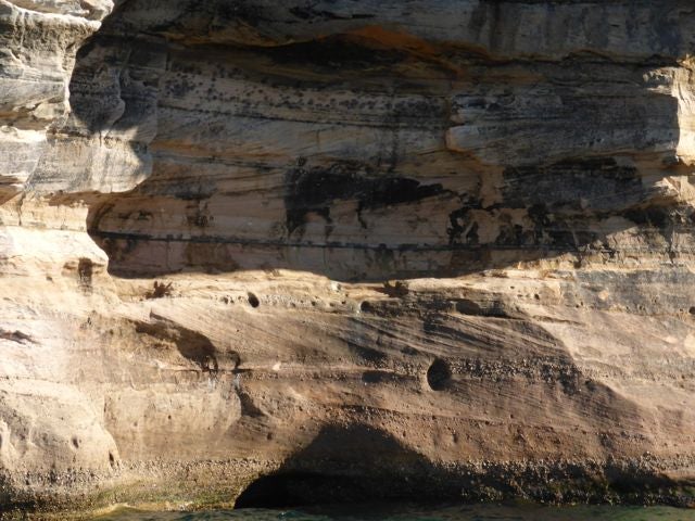
We ended the day with a boat cruise along Pictured Rocks National Lakeshore – the area we will go explore in more detail tomorrow!
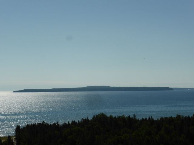
Mackinac Island Profile – check out the glacial lake shorelines

Tahquamenon Falls State Park
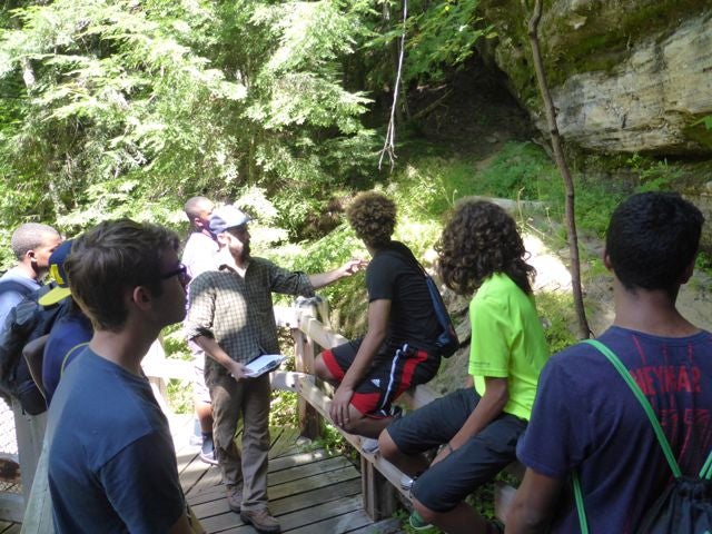
Sandstone viewing
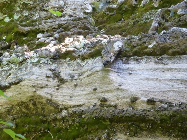
Conglomerate Layer at Tahquamenon Falls

Pictured Rocks National Lakeshore

Pictured Rocks National Lakeshore

Pictured Rocks National Lakeshore
Pictured Rocks National Lakeshore
Cross Bedding, Oh my!

Pictured Rocks National Lakeshore
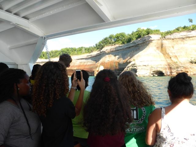
Checking out Pictured Rocks National Lakeshore