Category Archives: Summer #1

First Earth Camp summer experience in Ann Arbor and Sleeping Bear Dunes National Lakeshore

Welcome Earth Camp Class of 2019!

We are excited to welcome a new group of 20 rising 10th grade students to campus for a week of exploration and hands-on learning. Everyone got to meet each other and push themselves to try new things at the UMich Adventure Education Center where they spent the day practicing collaboration, developing trust, and having fun. The adventure ended with the climbing wall.

Our first full day of Earth Camp focused on water quality and exploring the Huron River. Students spent the morning comparing water quality a two different sites using the presence of different macro invertebrates species as an indicator of water quality, as well as chemically testing the water for dissolved oxygen, nitrogen, phosphorus, pH, turbidity, and temperature as more indicators of water quality.

These measurements led a discussion on non-point source pollution and how it affects drinking water, as well as recent water quality problems in Ann Arbor Arbor, Toledo, and Flint.

The students spent the afternoon kayaking up the Huron River from Argo Pond towards the Barton Dam – they were an impressive group and took to it easily.

A new group of Earth Campers! Michigan 2018

After a week in Wyoming with our Earth Camp veterans, it was time to welcome a new class to Ann Arbor for their first summer experience. After checking into the dorms, we got right to work getting to know each other during the low-ropes course and climbing wall activity at the U-M Challenge Program.

Day 2 – We focused on water quality today – comparing macroinvertebrate distribution and chemistry in two different water bodies (macroinvertebrates are a proxy for stream health), then headed out on the Huron River in kayaks to explore and enjoy the resource we just studied.


Day 3 – We spent our last day in Ann Arbor on campus. Students built solar cells in the morning and used GPS units to find their way around campus on a scavenger hunt. We had a special treat when our Michigan-bound Earth Camp alumni on campus before their freshman fall semester joined us for lunch.

Day 4 – We left for the west side of Michigan to see and explore the sand dunes and Lake Michigan – this was the first time for many of our students visiting the sand dunes, and for some, hanging out on the beaches of one of our 4 Great Lakes. We started with a dune ride to cover a larger area than we can on foot, then headed up north and promptly got in the (cold!) water – lots of fun on the beach and walk out to the lighthouse.

Day 5 – We lucked out with weather – it was gorgeous our whole time up north. We mapped Sleeping Bear Dunes, took measurements to create beach profiles, and ended the night with a bonfire on the beach. Another great trip with a superb group of new students – excited to explore and learn more in the future with them!


Earth Camp 2016 – Inaugural Weather Balloon Launch (Ann Arbor)

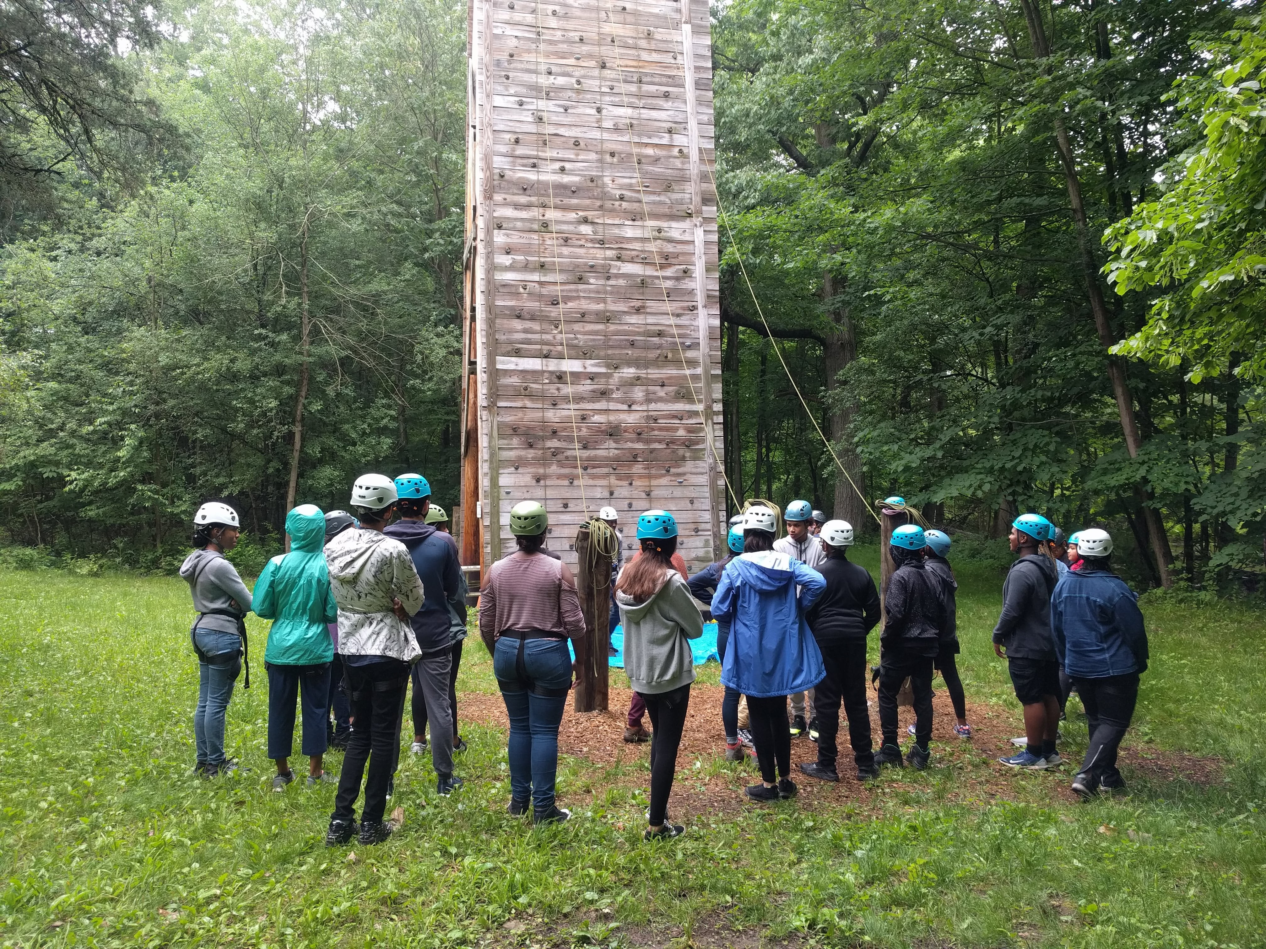
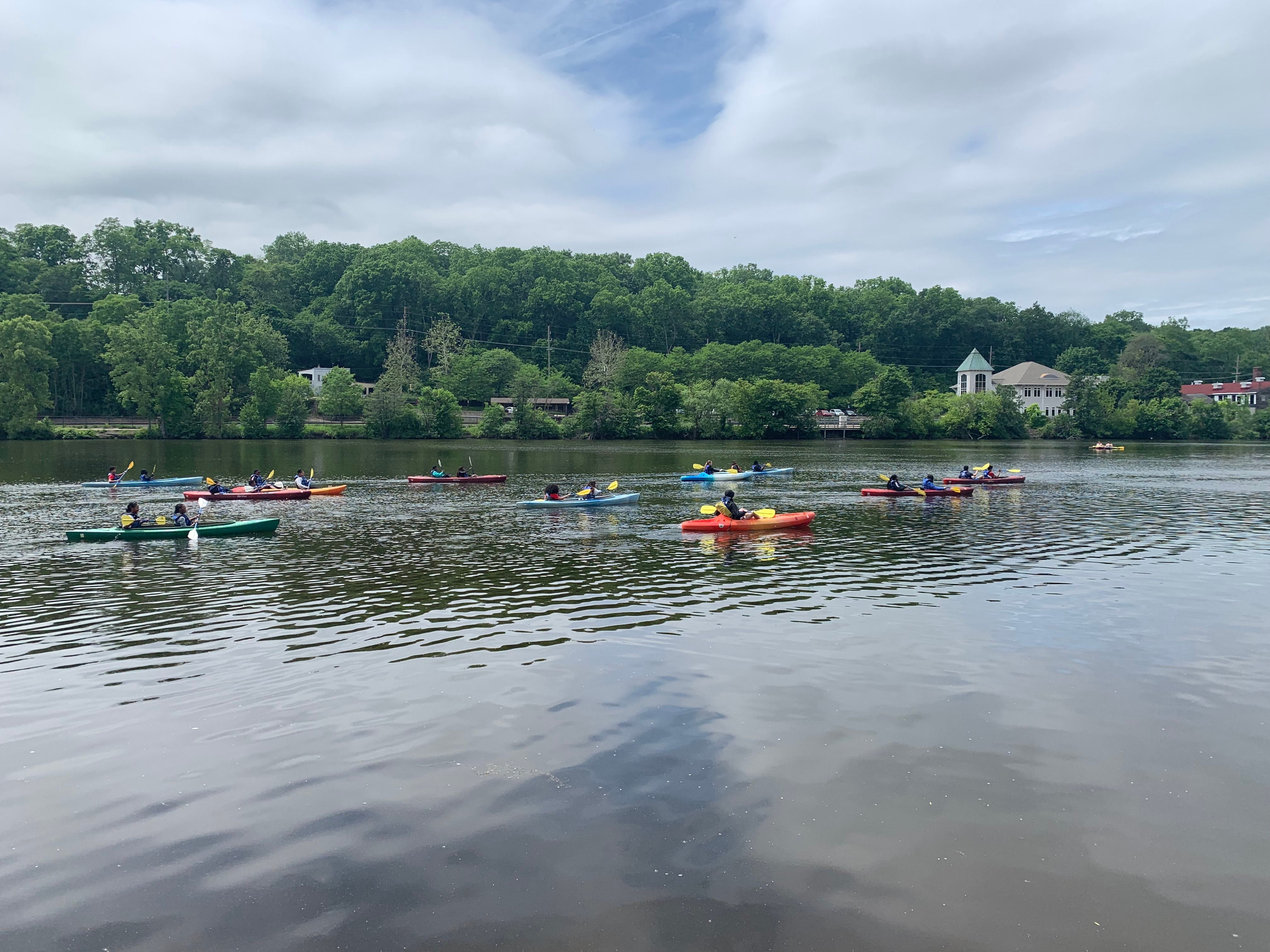
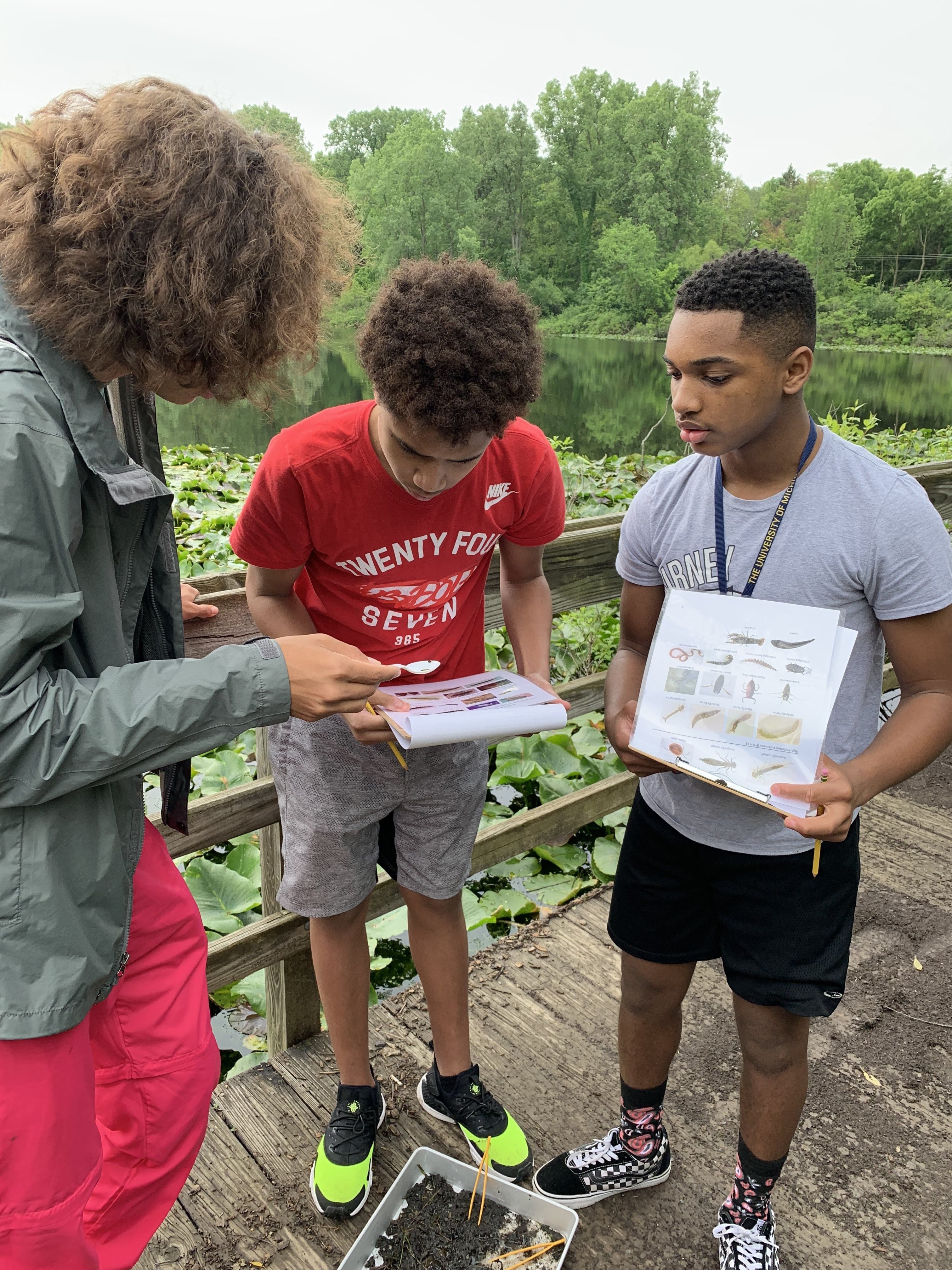
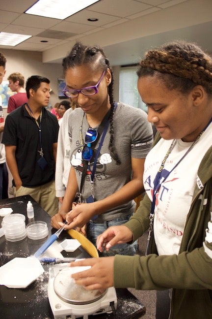
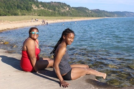
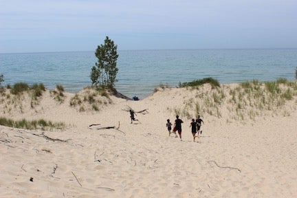
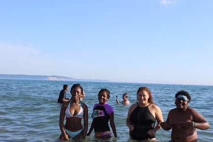
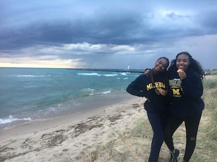
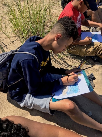
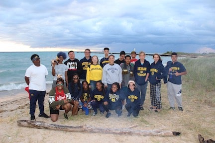
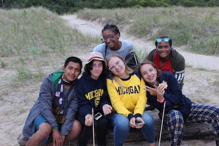
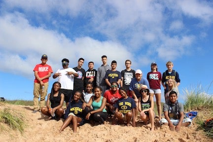
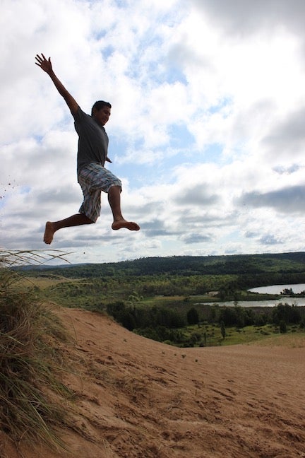
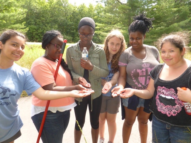
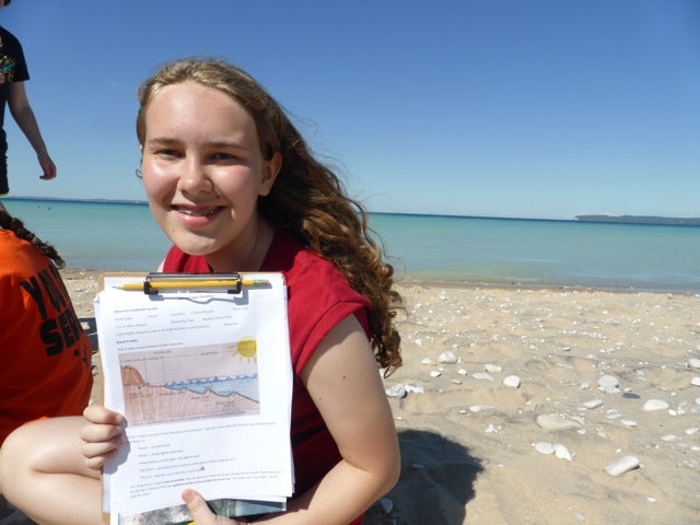
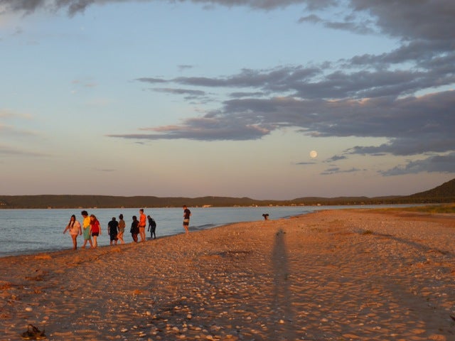
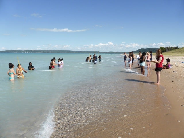
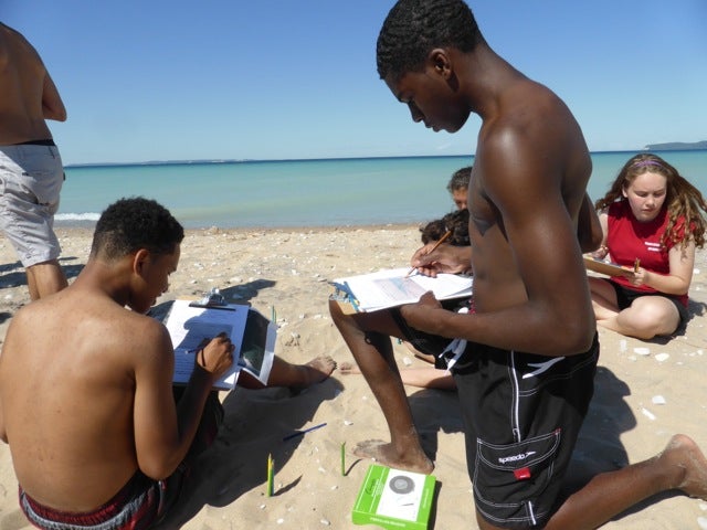
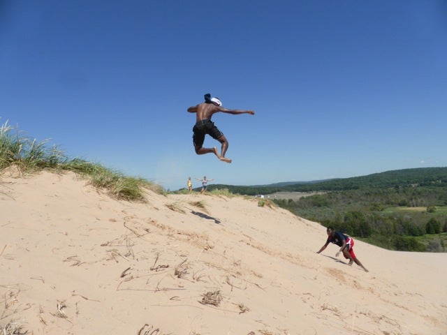
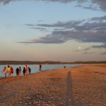
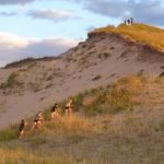
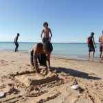
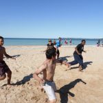
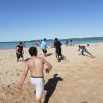
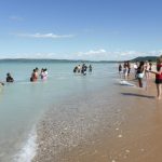
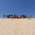
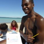
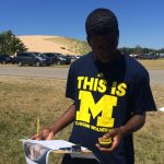
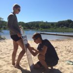
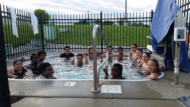
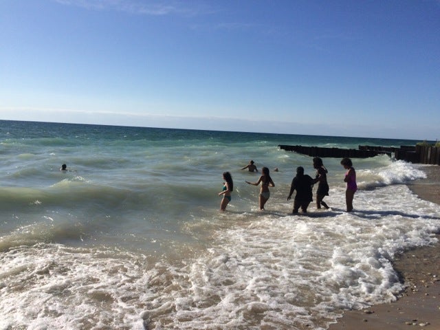
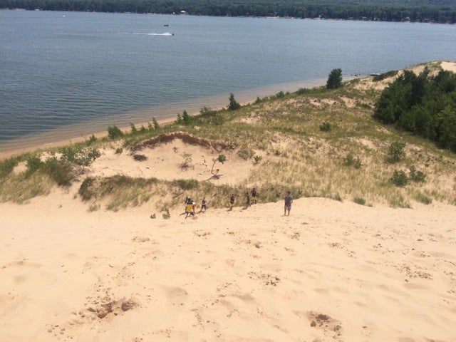
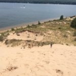
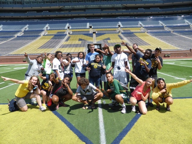
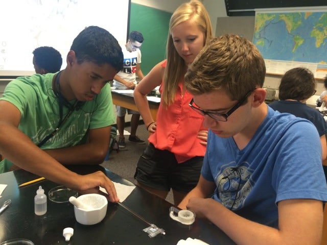
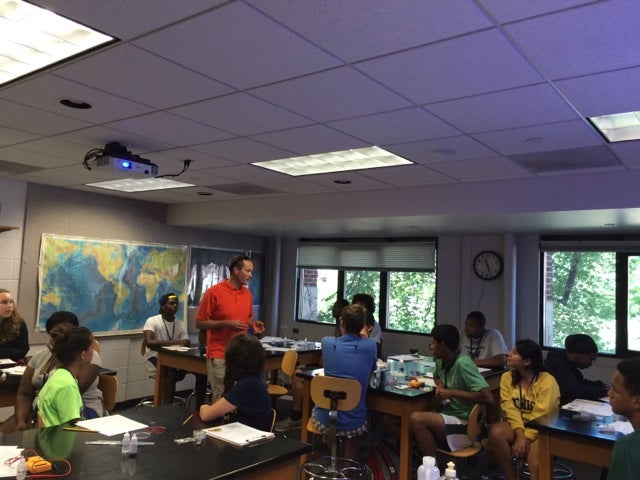
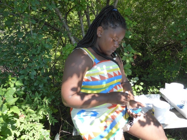
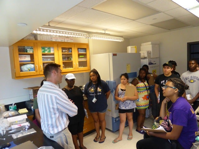
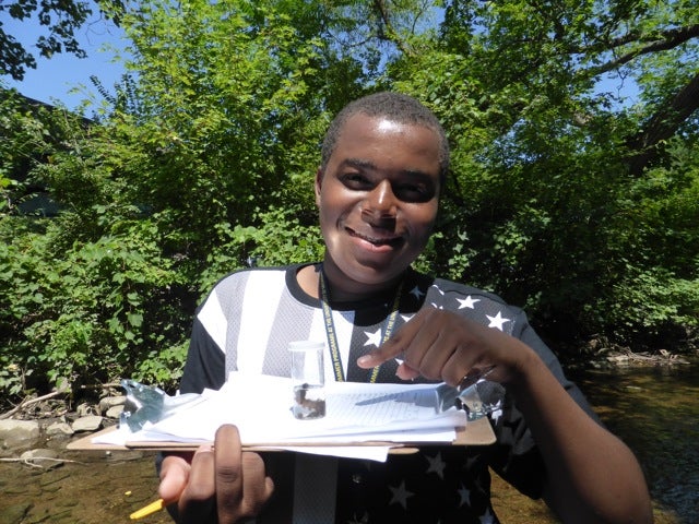
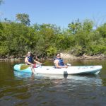
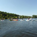
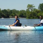
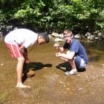
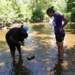
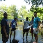
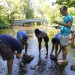
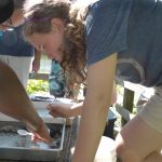
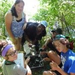
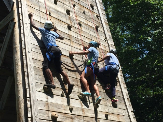
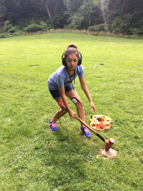
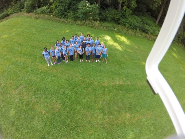
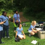
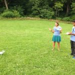
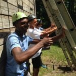
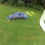
We recently launched our new high-altitude weather balloon with our incoming class of Earth Camp students who spent one week this summer on campus and at Sleeping Bear Dunes. The high-altitude weather balloon was part of an NSF grant awarded to Chris Poulsen and his postdoc Chris Skinner to be used during our outreach activities.

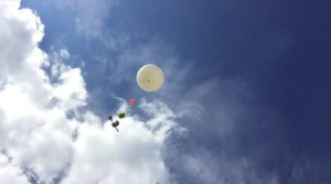
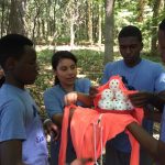
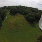
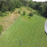
The high-altitude weather balloon system consists of a latex helium balloon, a parachute, a payload box for experiments and cameras, a waterproof SPOT tracking device, and a control module that provides real-time altitude, temperature, humidity, vertical velocity, horizontal velocity, spin rate, turbulence, pressure, heading, GPS coordinates, and battery life data. Our modified version also included our mascot – the stuffed animal Michigan Bear. The system rises up to approximately 100,000 feet until the latex balloon bursts, at which point the parachute opens up when it starts falling to the ground.

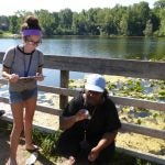
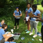
Chris S. started checking the weather and plotting launch and landing sites a week out and picked Sunday, August 7th as our launch date. The plan was to launch near Lansing, MI so the balloon would land just north of Ann Arbor in Brighton, MI.

Figure 1a

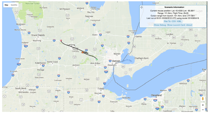
Figure 1: projected flight path – the red dot is the burst site

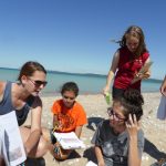
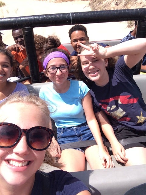
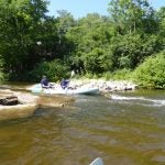
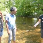
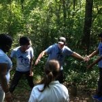
The skies were clear, there was very little surface wind, and the Earth Camp students were excited. Everything was perfect for a launch, except the jet stream was rip-roaring strong. This means a longer horizontal travel distance for the balloon, hence the long drive to Lansing to launch it. The day before our launch, as we were going through our preparations, Chris’s main concern seemed to be the screaming fast Jet Stream.

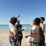
“Jenna, just make sure we don’t underfill the balloon with helium”

“We just have to make sure we fill it with the right amount of helium, or even go over a bit”

“If we underfill with helium, the balloon will rise too slowly and get stuck in the jet stream – it will end up in the lake.”

“It’s better to overfill, rather than underfill the balloon with helium”

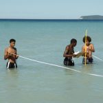
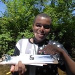
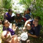
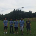
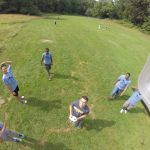
Launch day arrived, and I promptly proceeded to (under)fill the balloon with helium. The students released it, we watched it rise, and Chris turned to me and said “it’s rising a lot slower than I thought it would.”

Figure 1

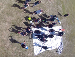
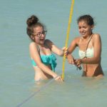
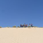
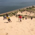
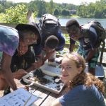
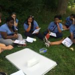
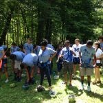
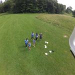
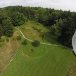
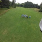
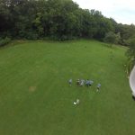
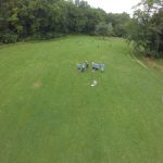
Figure 2: photo taken from the weather balloon of the students watching the launch

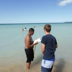
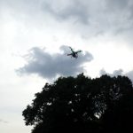
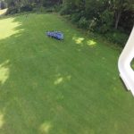
We hopped in our vans (which in high-altitude ballooning lingo are now called “Chase Vehicles”) and started driving towards Brighton for recovery. Chris was tracking the balloon real time and it was rising and heading in the right direction – we were just way ahead of it. We got to the targeted landing site and compared our real-time data to previous high-altitude balloon launches – our balloon was rising at ¼ of the minimum rate it was supposed to be due to the low helium amount – this was going to be a long day. The students headed off to their next activity and Chris and I holed up in our makeshift control room. Michigan Bear was on a wild, international, adventure and we were determined to get him back (along with thousands of dollars of electronic equipment).

Figure 3

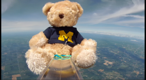
Figure 3: Michigan Bear in space

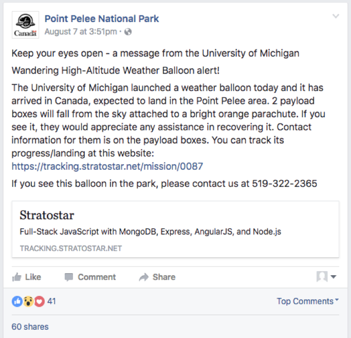
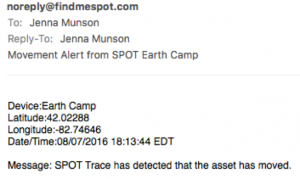
Our predictions of the balloon’s landing site were varying wildly – first we thought it might end up all the way in Pennsylvania, then we thought Columbus, OH, then we were sure it was going to be the middle of Lake Erie. Eventually, Point Pelee National Park – a small peninsula in Canada jutting into Lake Erie – was determined to be the likely landing point. Then we lost contact with our emergency SPOT beacon at 70,000 feet, and the battery pack on the control module died and we lost our real-time GPS tracking. Our balloon was being carried with the jet stream and we had no idea where it was.

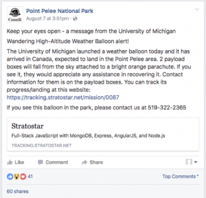
We contacted Point Pelee and they immediately had a high-interest of followers/commenters on their Facebook page after they posted this:

Figure 4

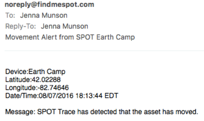
Our battery pack was dead, so our GPS was not going to turn back on, but after numerous google searches, we were hopeful the SPOT emergency beacon device would turn back on when it got to a lower elevation. I’m pretty sure this is the closest feeling I will ever have to sitting in a NASA control room waiting for my rover to land on Mars. Chris S. was pacing, I was clicking refresh on our SPOT page every 5 seconds – then the alert arrived: “SPOT Trace has detected that the asset has moved.

Figure 5

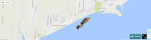
We checked the map – it looked like our system had landed right on the beach. We zoomed in, and OH NO!, it landed 50 yards off the beach in Lake Erie. We watched the SPOT updates track it as it slowly moved with the longshore current.

Figure 6

I decided to do what any self-respecting Minnesotan would and I called a fisherman from the port near where it landed. He seemed fairly skeptical of my account:

um, hi. I am calling from Michigan and we launched a balloon up into space and it just fell back to Earth with a bright orange parachute and landed right offshore from your fishing charter location. I can see it on Google Maps and it right offshore of the huge mansion with the jetties in front of it”.

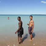
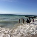
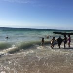
He sounded amused and told me to call back in 15 minutes. I did, and now he sounded excited. He had called a friend who lived on the bluff and could see the parachute and the payload boxes floating in the water. Chris drove over to Canada, met Jon of Chante Charters who had gone out in his boat to recover the system, and brought everything home.

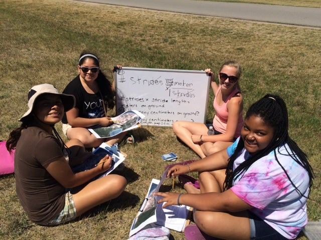
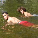
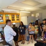
The next day the students got to see the photos taken from the onboard cameras, as well as analyze the launch data. They were completely engrossed, thought the story of the international journey was really cool, and were posting about the launch on all their social media accounts. An all-around success! The students learned that in science, things rarely turn out like you expect, but you learn from your mistakes and keep moving on. We got great data, amazing pictures, learned a lot about the atmosphere, and most importantly, the students were excited about the whole outdoor, hands-on, scientific experience.

If you want to look at our launch data, you can find everything here: https://tracking.stratostar.net/mission/0087


Figure 7

Earth Camp 2015 – Day 6 (Sleeping Bear Dunes)

I woke up to this headline in the news today:

Sleeping Bear Dunes ranked 13th in nation for number of search and rescue operations

Our group made it through our 3 days without any emergency assistance needed, I’m glad we didn’t add to this statistic!

Our last day of Earth Camp was a short service project in Sleeping Bear Dunes National Park. Students pulled common mullein from the sides of the Heritage Trail, a bike path that runs through the park. This invasive plant can remain dormant for years and starts to grow when it is disturbed – this happened when the ground was dug up to put in the new bike path.

Along the way, students found wild raspberry plants and had their first experience picking and eating raspberries from the wild – a perfect snack along our route!

Our service project was a nice way to give back to the park that gave our group so many amazing experiences and memories.

Thank you students and staff for a great Earth Camp 2015!

P1020883 P1020885 P1020886 P1020889 P1020890


Earth Camp 2015 – Day 5 (Sleeping Bear Dunes)

Yesterday the students got to see and explore the dunes and Lake Michigan – some for the first time. Today we put them to work mapping areas around the dunes.

In the morning, we reviewed map basics and the students learned how to use the length of their stride to measure distances on the ground. They also learned how to use GPS units to determine latitude, longitude, and elevation.

We travelled to the base of the dune climb where students were given an aerial image of Sleeping Bear Dunes and needed to put information on it to make it a useable map. This included a title, scale bar, latitude, longitude, and elevations. To create a scale bar from only an image, the students used their stride length (calculated earlier in the day) to measure the actual distance of the road, then measured the same distance on the map. Using these two numbers, they were able to determine an accurate scale for our image. They used the GPS units to add latitude, longitude, and elevation.

After this, the group climbed up the very steep and very challenging “Dune Climb”. Here are a few videos:

After lunch, we headed to Sleeping Bear Point to map the beach and create beach profiles – essentially a map of the bottom of the lake as viewed from the side. Students were in the water taking measurements of depth and “distance from shore”.

After this, it was free time on the beach and our Last-Night-Of-Camp bonfire. The students turned the tables and decided to teach the instructors something – the Nene Dance. You can see the results of this “lesson” here:

It was our last night of Earth Camp and we let the students know what an amazing group they all were. All of the staff were incredibly impressed with their effort, teamwork, knowledge, and excitement.

P1020742 P1020839 P1020791 P1020734 P1020673 IMG_0373

Earth Camp 2015 – Day 4 (Sleeping Bear Dunes)

We made it to the western side of the state today. Most of the students were seeing the dunes for the first time.

We explored Silver Lake dunes on a guided dune buggy and got out mid-ride to run down the largest dune there – then climb back up. You’ll notice on our YouTube videos we had a few spectacular face plants.

Then we headed north towards Sleeping Bear Dunes and went to the beach at the Point Bestsie Lighthouse for dinner and swimming at the beach.

We finished the day relaxing at the hotel. It was an incredibly fun day, but also very special to be able to share most students’ first trip to the dunes with them.

Tomorrow we will explore the park. Students will be mapping the park and creating beach profiles.

IMG_0305 IMG_0284 IMG_0277 IMG_0264

Earth Camp 2015 – Day 3 (Ann Arbor)

We had another great day today. The students spent the day with Danielle and David (two of our instructors) building and testing titanium-dioxide nanocrystalline solar cells.

Prof. Adam Simon stopped by to talk to them about his research of rare earth metals (the kind needed to make solar cells) and gave a tour of his laboratory.

Lastly, the students got a chance to explore the Big House.

Another great day – we are looking forward to Sleeping Bear Dunes tomorrow!

P1020664 IMG_0238 IMG_0241

Earth Camp 2015 – Day 2 (Ann Arbor)

Today the students had an action-packed day focusing on water quality. They visited two sites in Ann Arbor to get wet and muddy collecting macroinvertebrates – small organisms that live in the mud, like: snails, leeches, aquatic worms, mayfly larva, damselfly larva, and others.

Some of these organisms can tolerate polluted waters and others can’t. One of our sites was a low pollution site and the other was not as healthy. They were able to use the presence and abundance of these macroinvertebrates to learn about each location’s water quality. They also used chemistry sets to take water measurements to add to their knowledge of the overall water’s health.

After that they toured Prof. Gregory Dick’s lab at U-M who discussed his environmental microbiology work on the harmful algal blooms in Lake Erie.

They finished the day kayaking the Huron River – the source of Ann Arbor’s drinking water. They all went through “The Cascades” – a series of shoots as the water level drops rapidly in the river.

Another great day with a great group of students!P1020523 P1020572 P1020580 P1020557


Earth Camp 2015 – Day 1 (Ann Arbor)

Welcome to Earth Camp 2015. We have an exciting week of hands-on, earth science activities for our group of 10th graders.

Today the students spent the morning at the U-M Challenge Course on the low ropes course and climbing “The Wall”. Later, they came to Nicholas Arboretum (part of the University of Michigan campus) to use U-M’s seismic equipment and our newly acquired drone.

They learned about seismic profiles and how to apply Snell’s Law to seismic data to determine the depth to the rock layer below the surface of the Earth. They then had the opportunity to put what they had just learned to good use by using the seismic equipment to create their own mini “seismic-event” (like an earthquake, but only as powerful as the sledgehammer they wielded!) and used the real-time data to calculate how far the solid rock was below the surface (above this solid rock would be soil). They could also determine from their calculations of seismic wave velocities what type of rock it is.

Additionally, they sent up the drone with the GoPro attached and got to pilot it around. We got a lot of great footage, despite a few near misses with the trees.

It was a great first day – we are very excited about the upcoming week. This group of students is top notch and we look forward to spending more time with them.

IMG_0507_2 IMG_0186

DCIM100GOPRO

DCIM100GOPRO