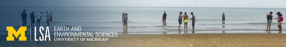
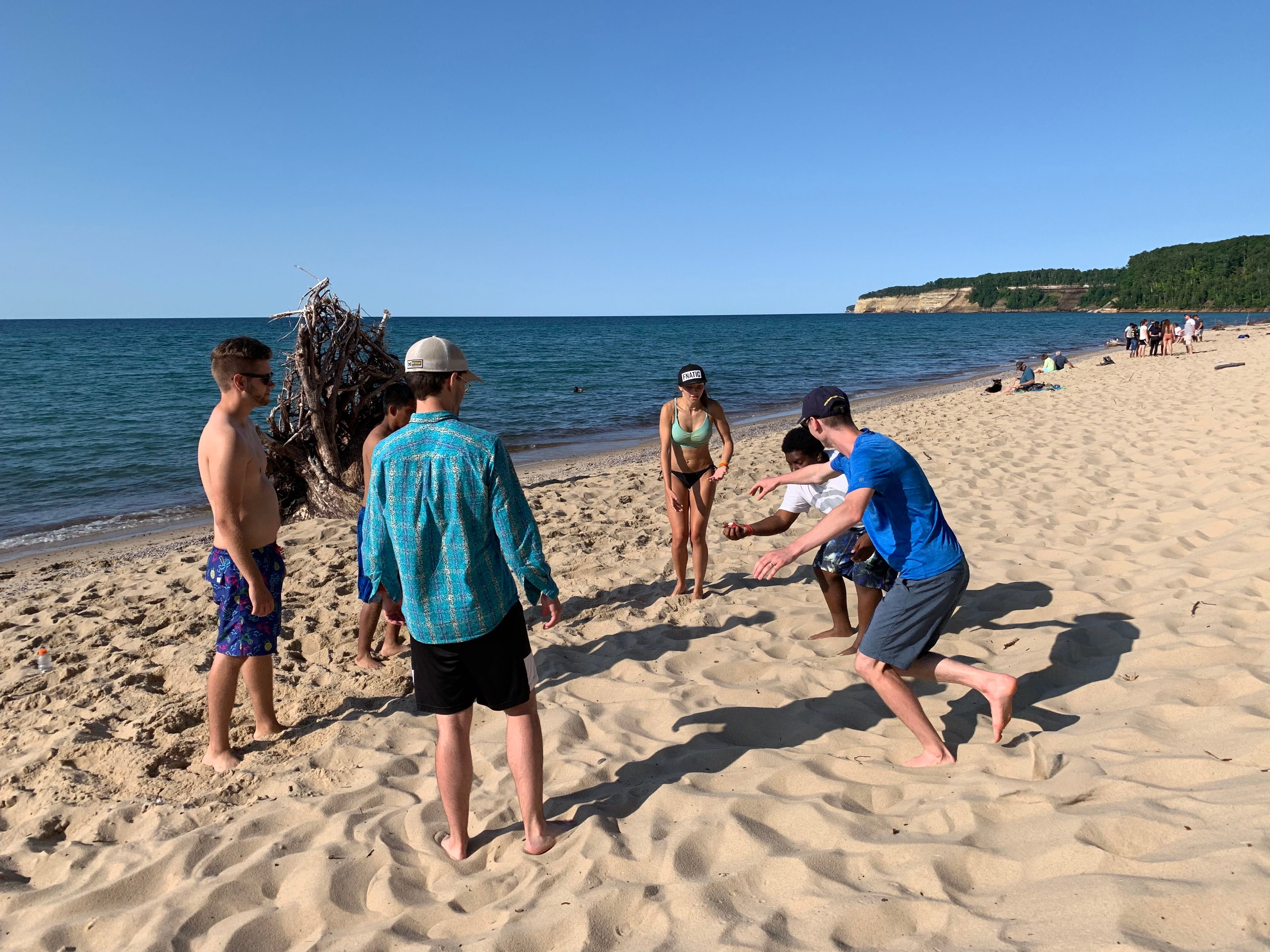
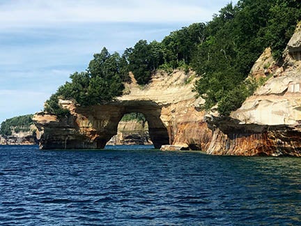
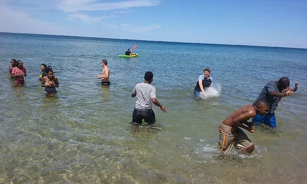
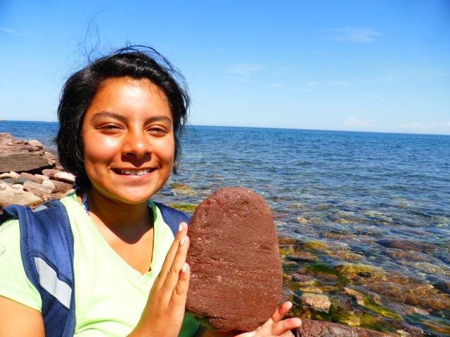
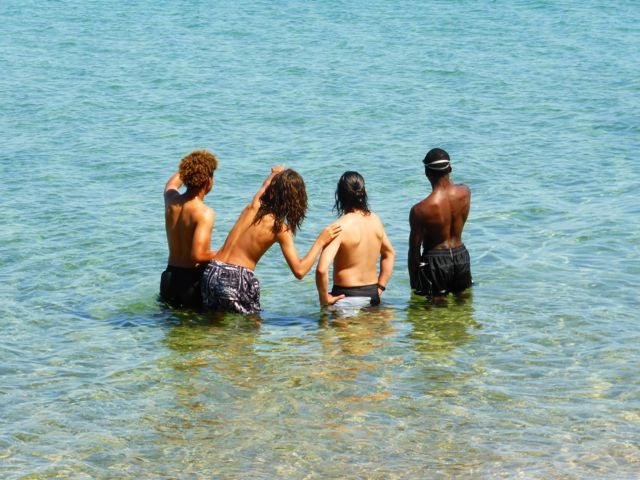
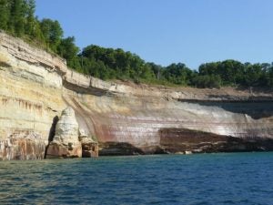
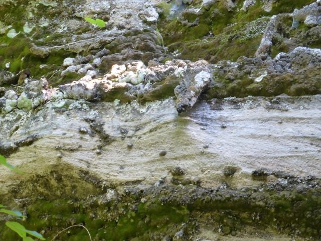
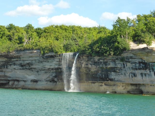
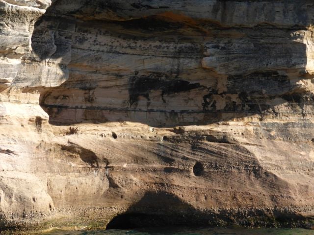
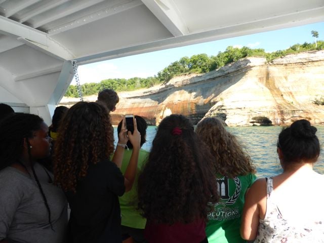
We spent a second day at Pictured Rocks on a cruise to view the rock formations from the water, as well as some time to relax on the beach. Students got in swimming and Camila finally found a Lake Superior agate (a first for Earth Camp – she was determined after I described them to her)!


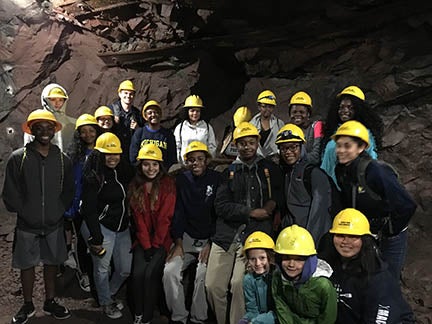
Next on to Marquette, MI. We went to the famous banded iron formation deposits in Ishpeming, MI

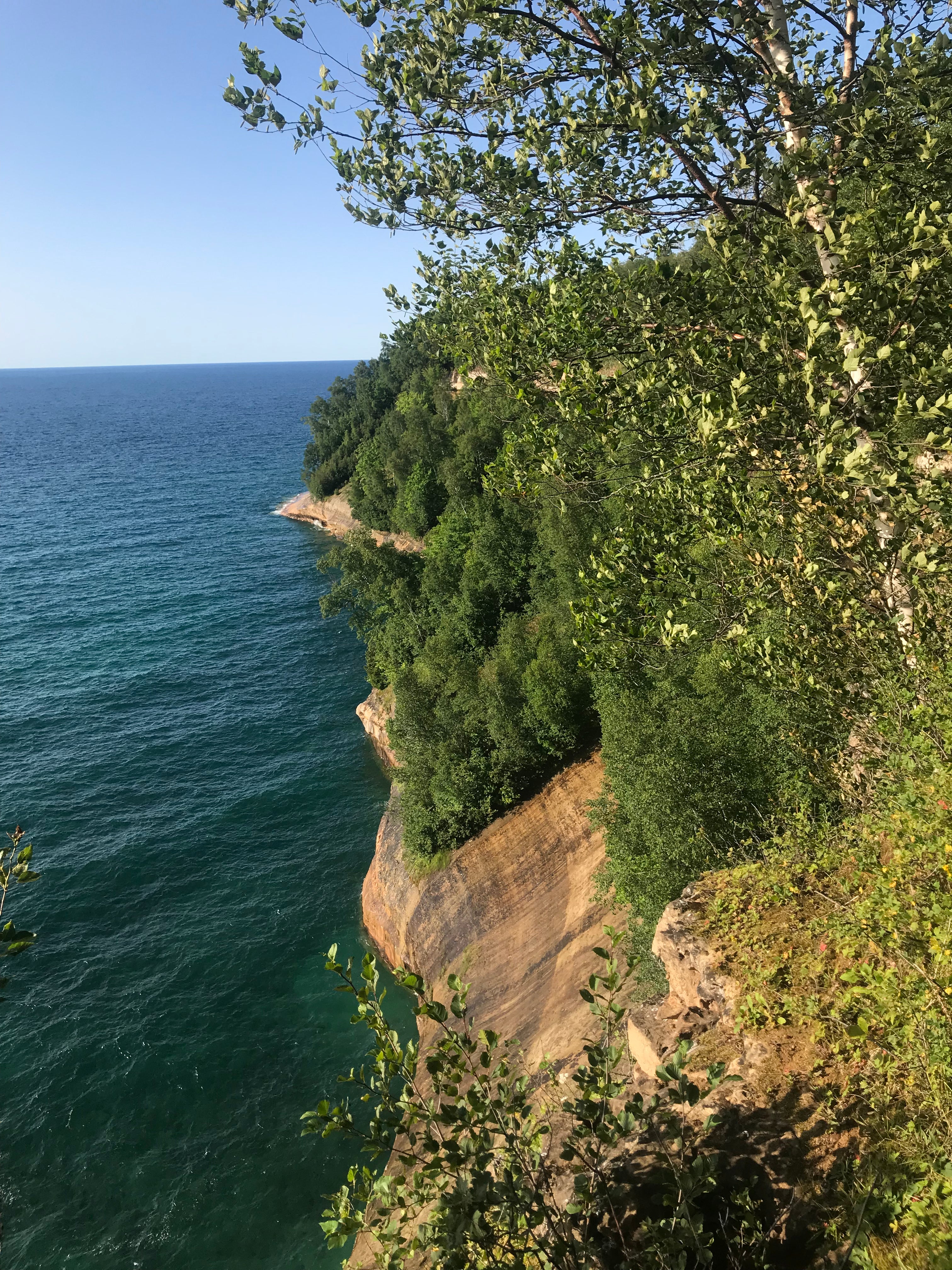
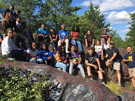
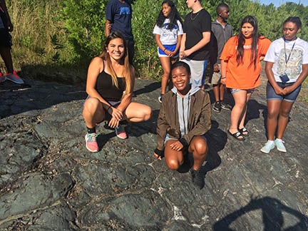
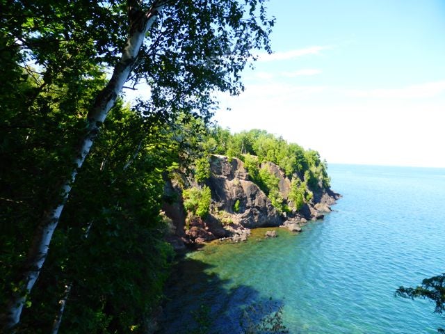
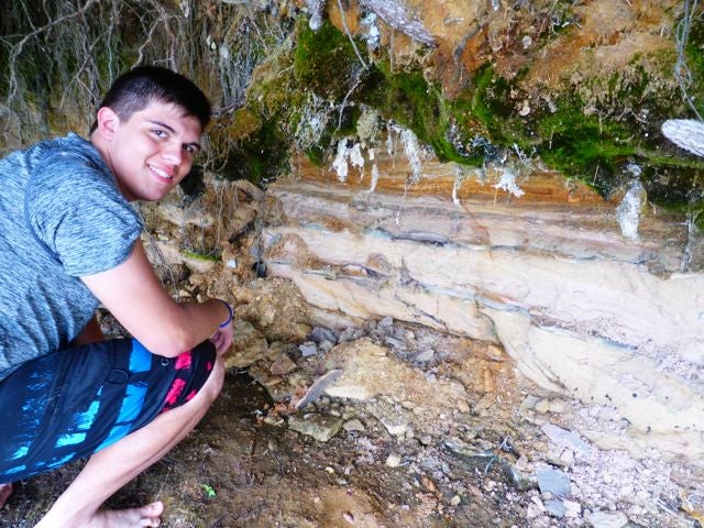
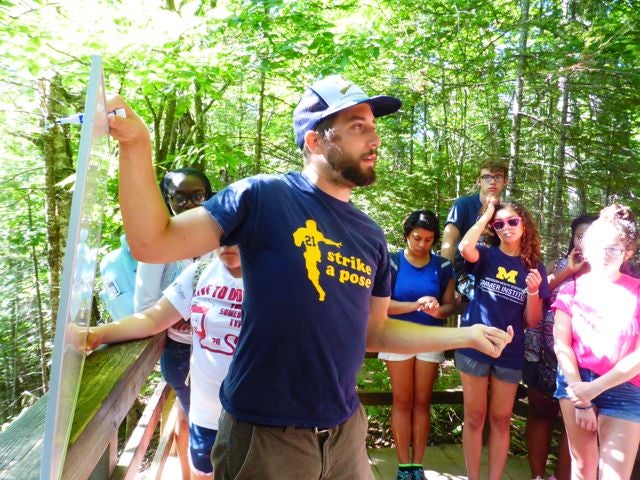
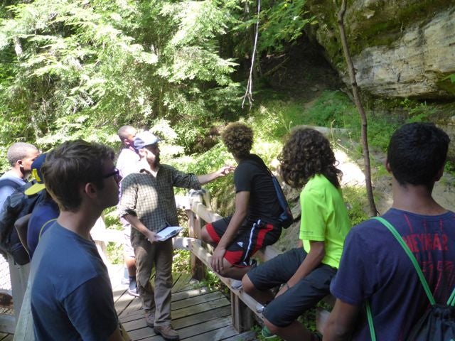
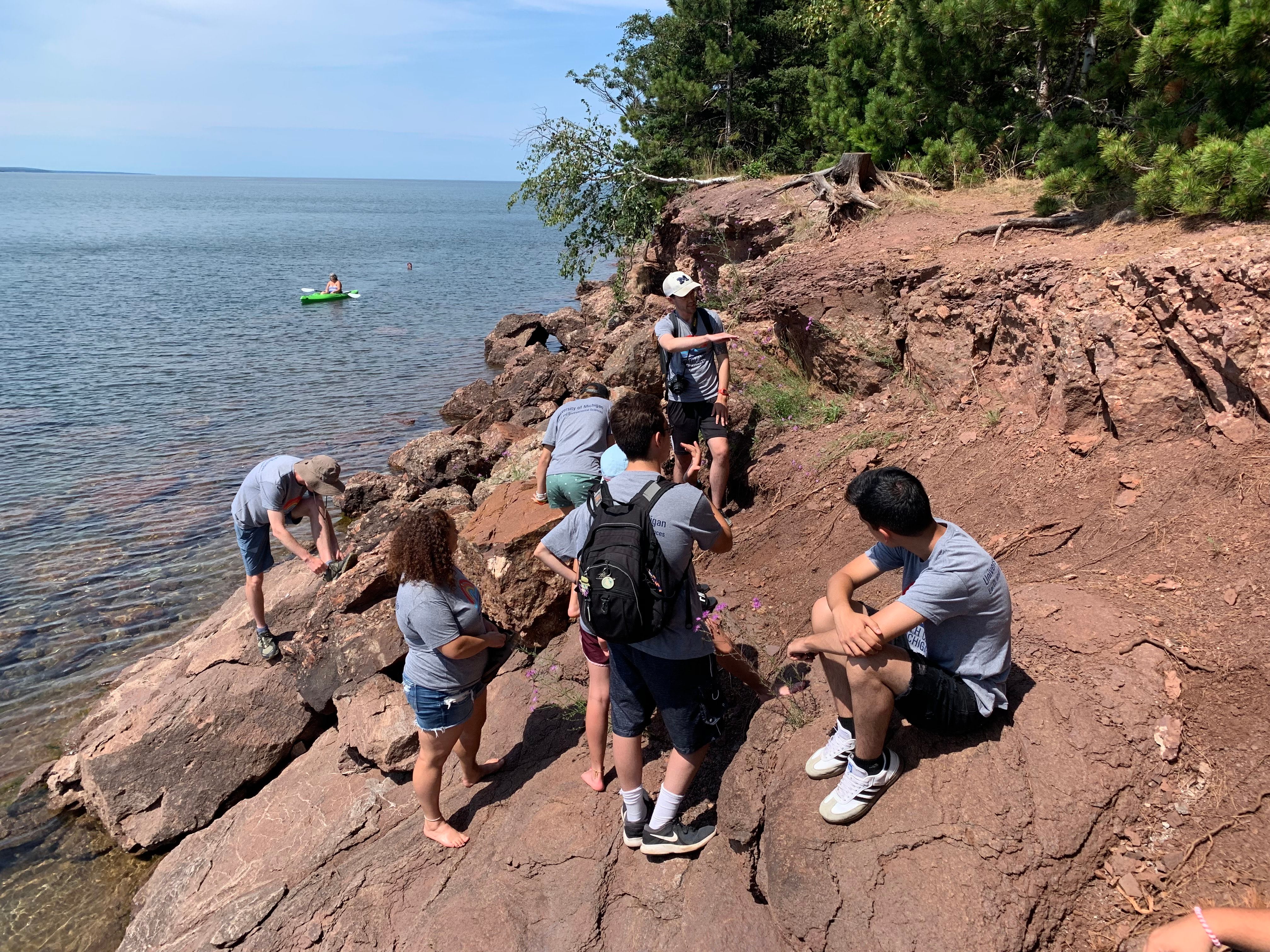
Nest to Preques Isle State Park to view the Jacobsville Sandstone, and then find the Great Unconformity. (today was a day of famous rock outcrops – I would put The Banded Iron Formation and The Great Unconformity in top 10 well-known outcrops in the world, both are textbook examples that you will find in any Intro Geology textbook, so we love taking students to see them up close!)


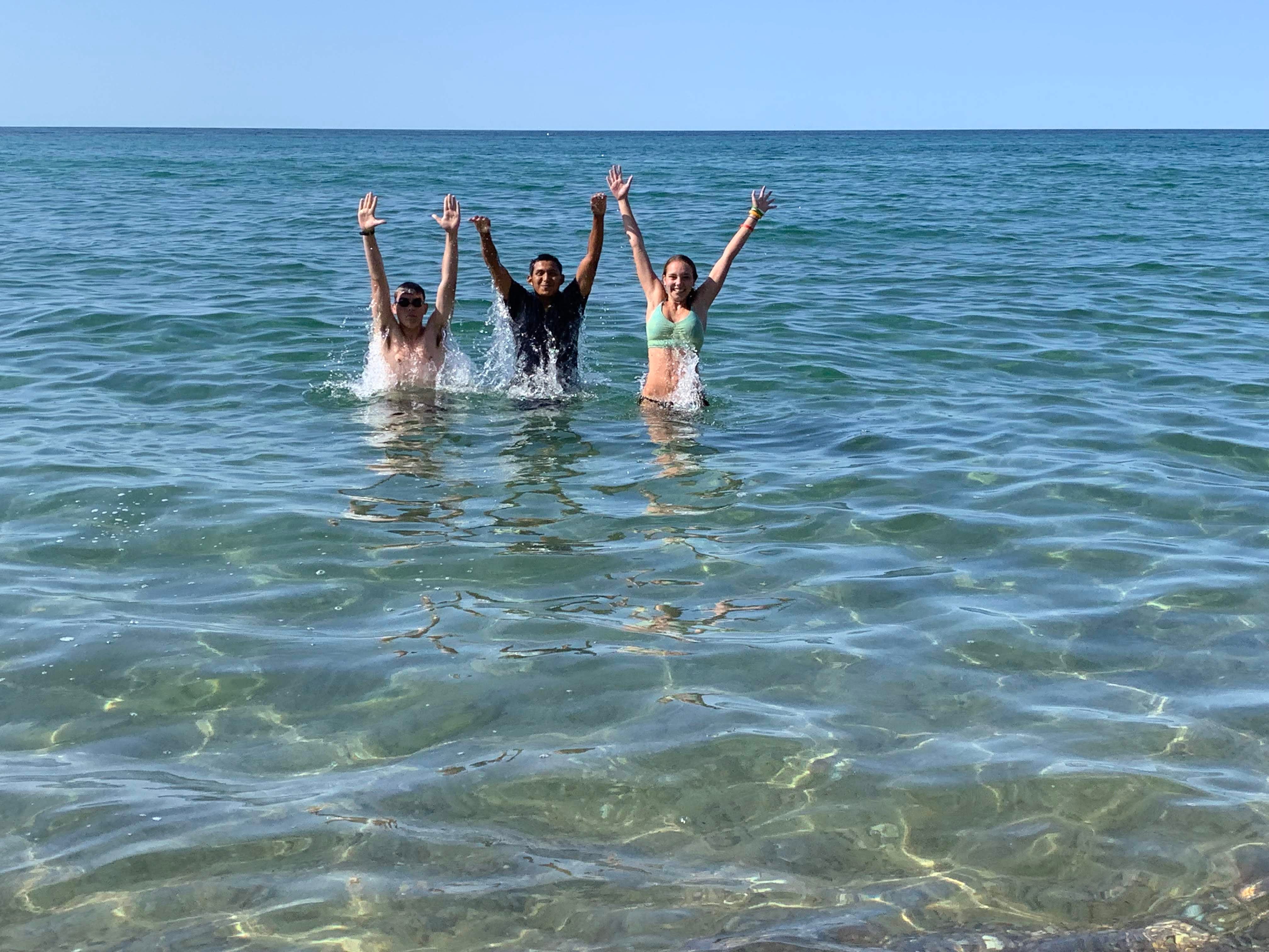
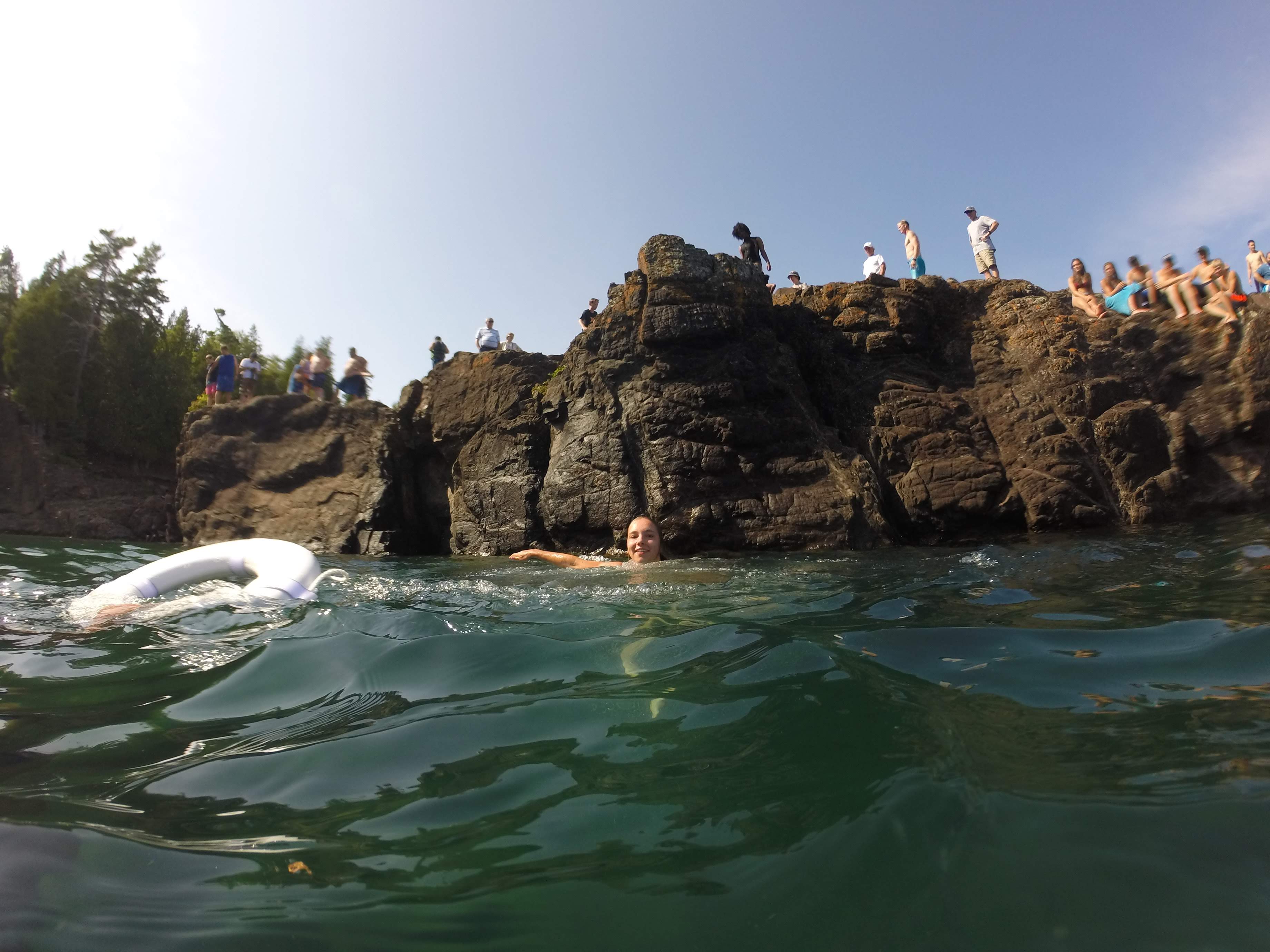
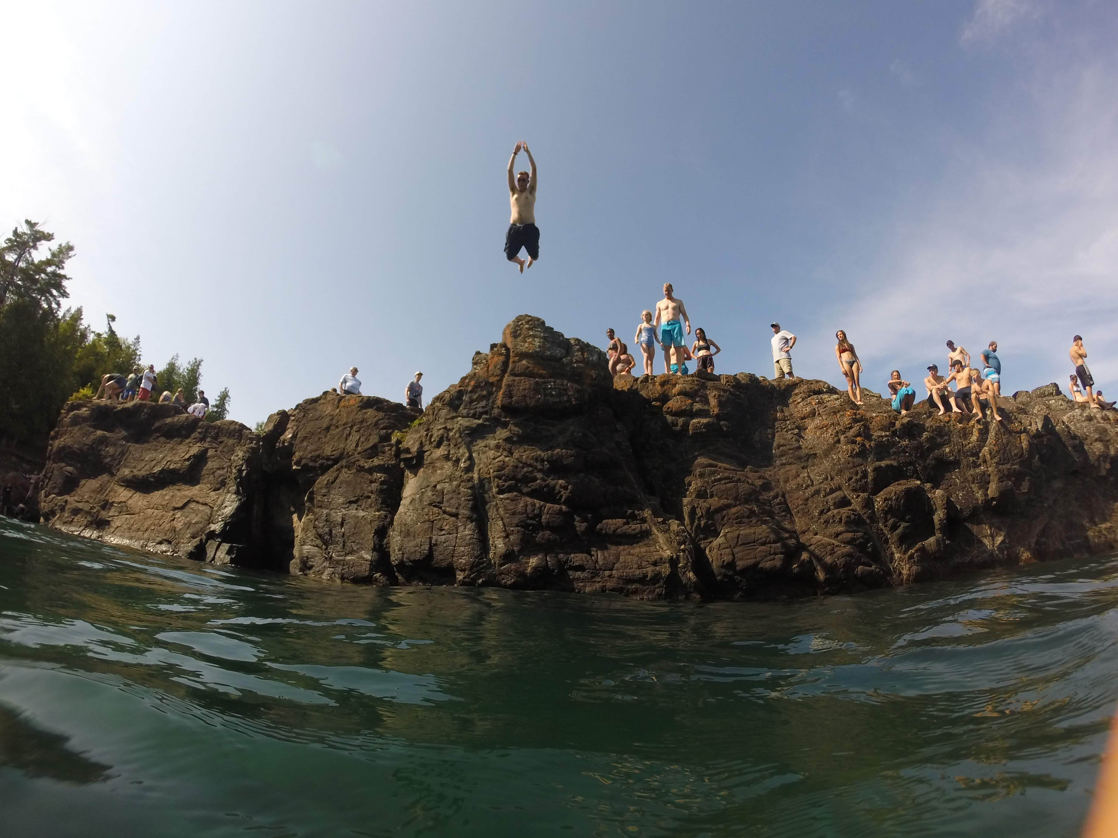
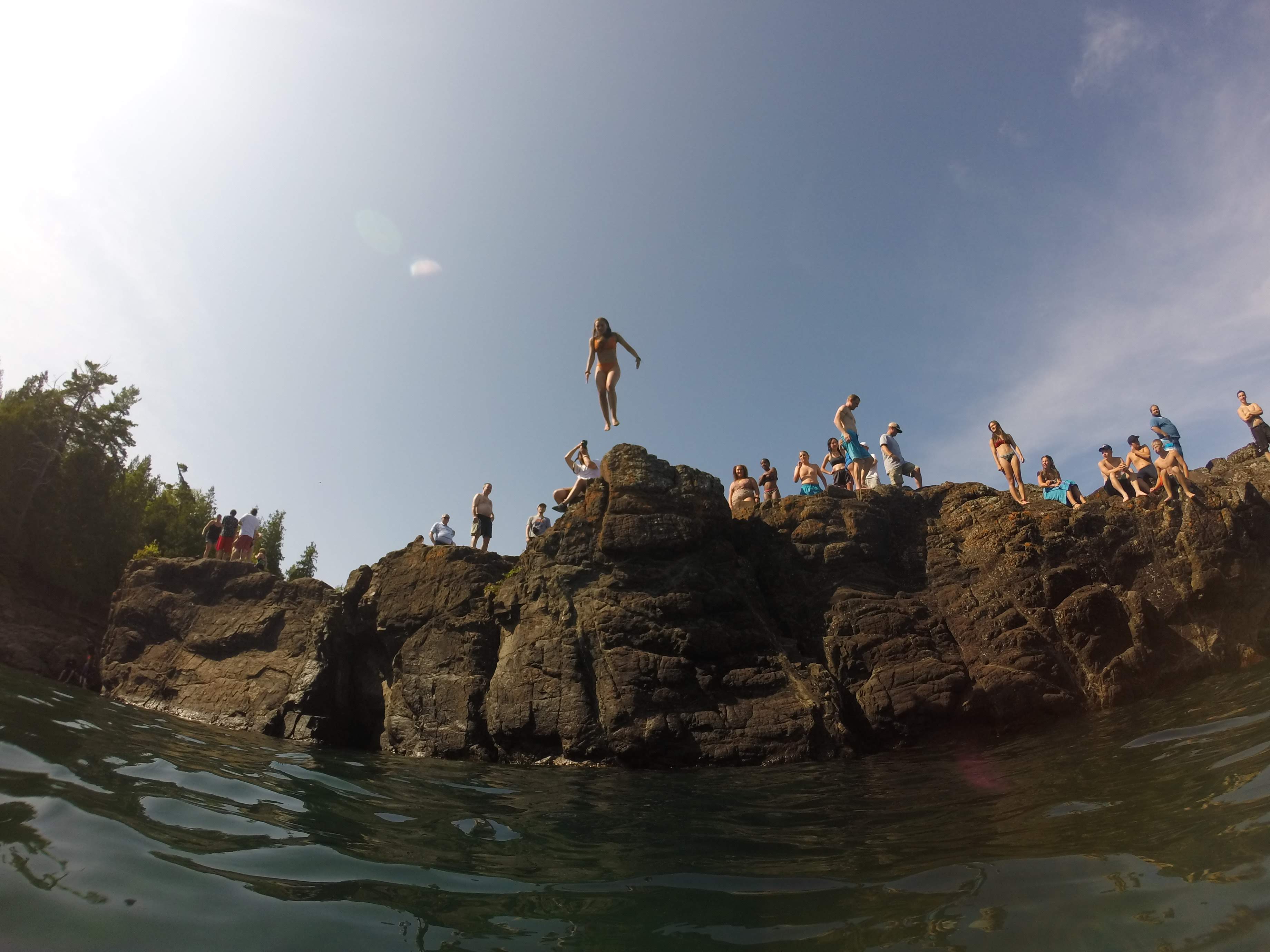
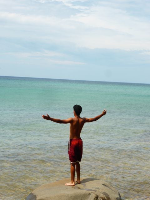
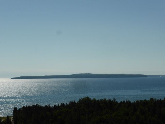
And of course, got to end the day at the 1.7 billion year old peridotite that forms the Black Rock cliffs here. As a thank you to the cliffs for being such an amazing geologic formation, we jump off them into Lake Superior!
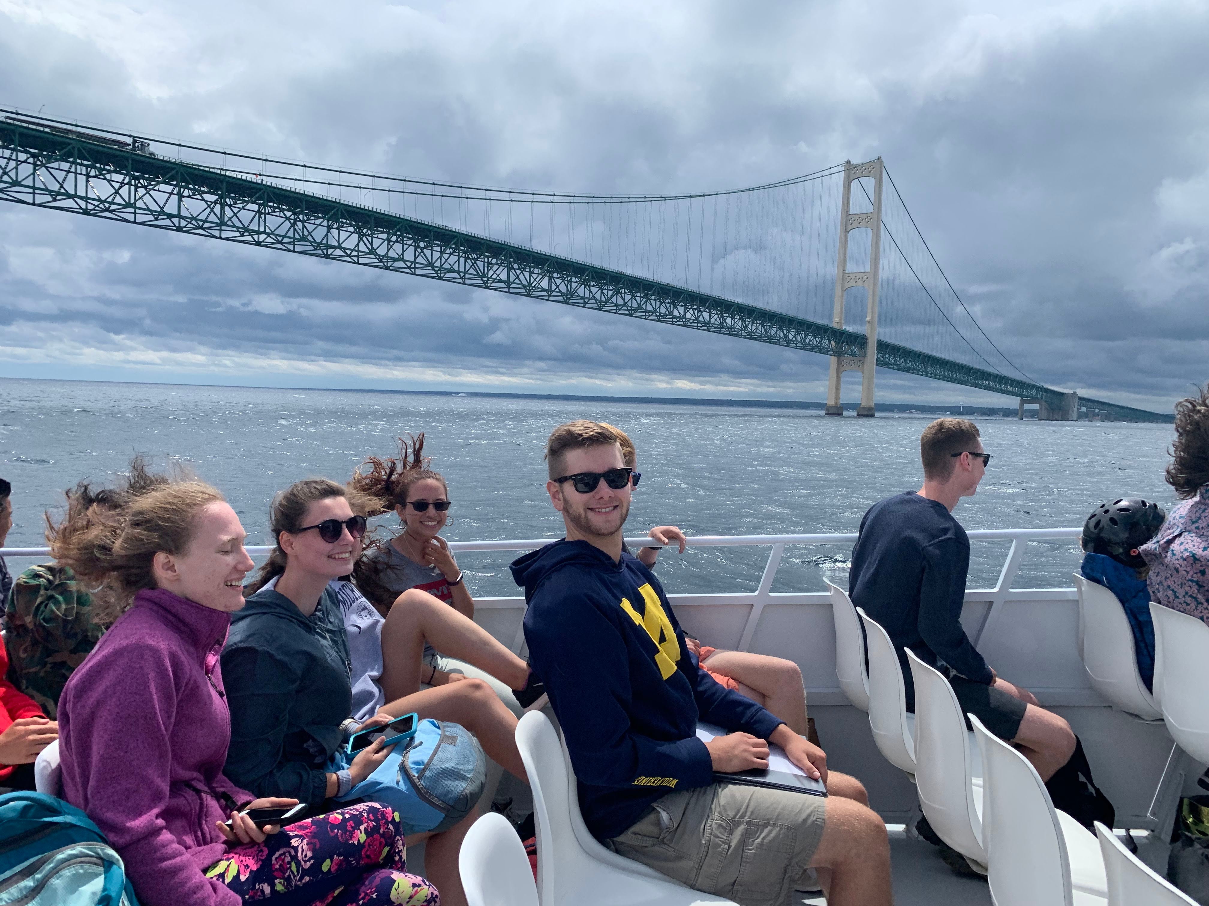
DCIM101GOPRO
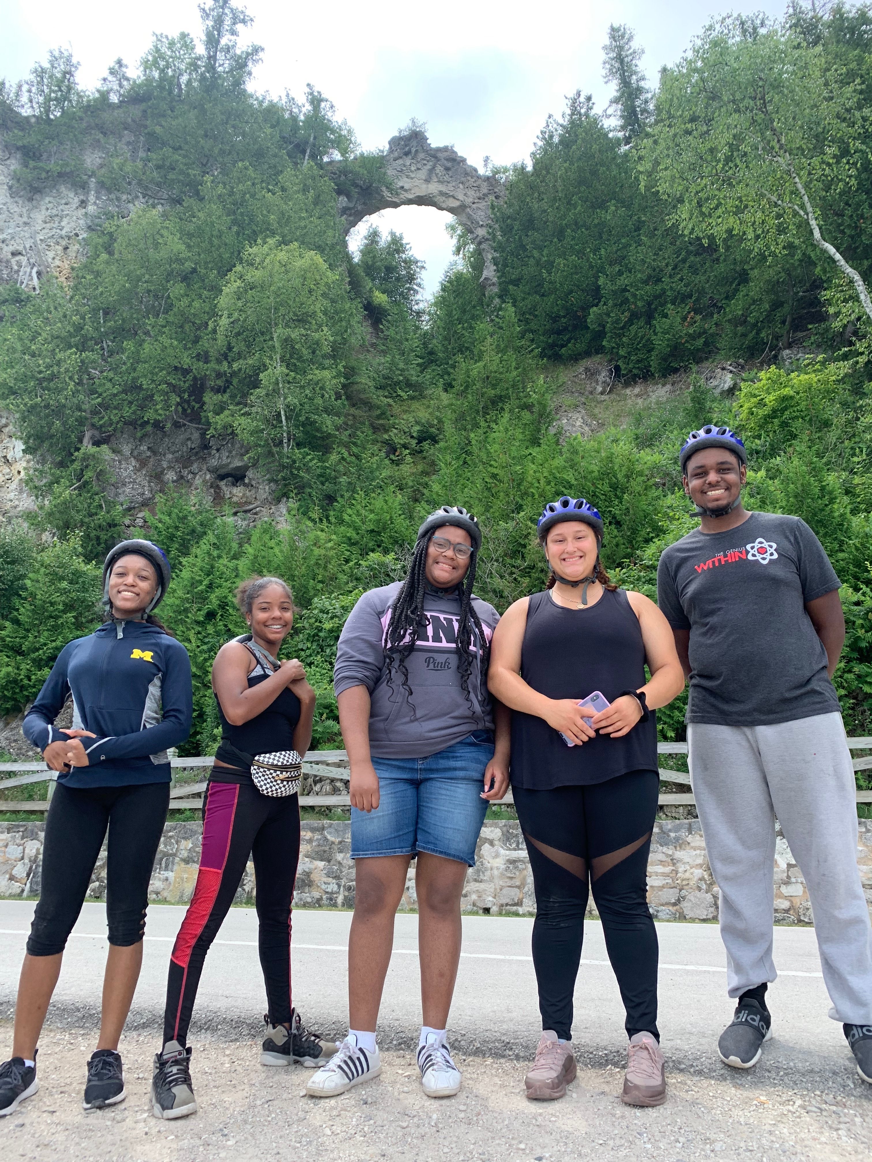
DCIM101GOPRO
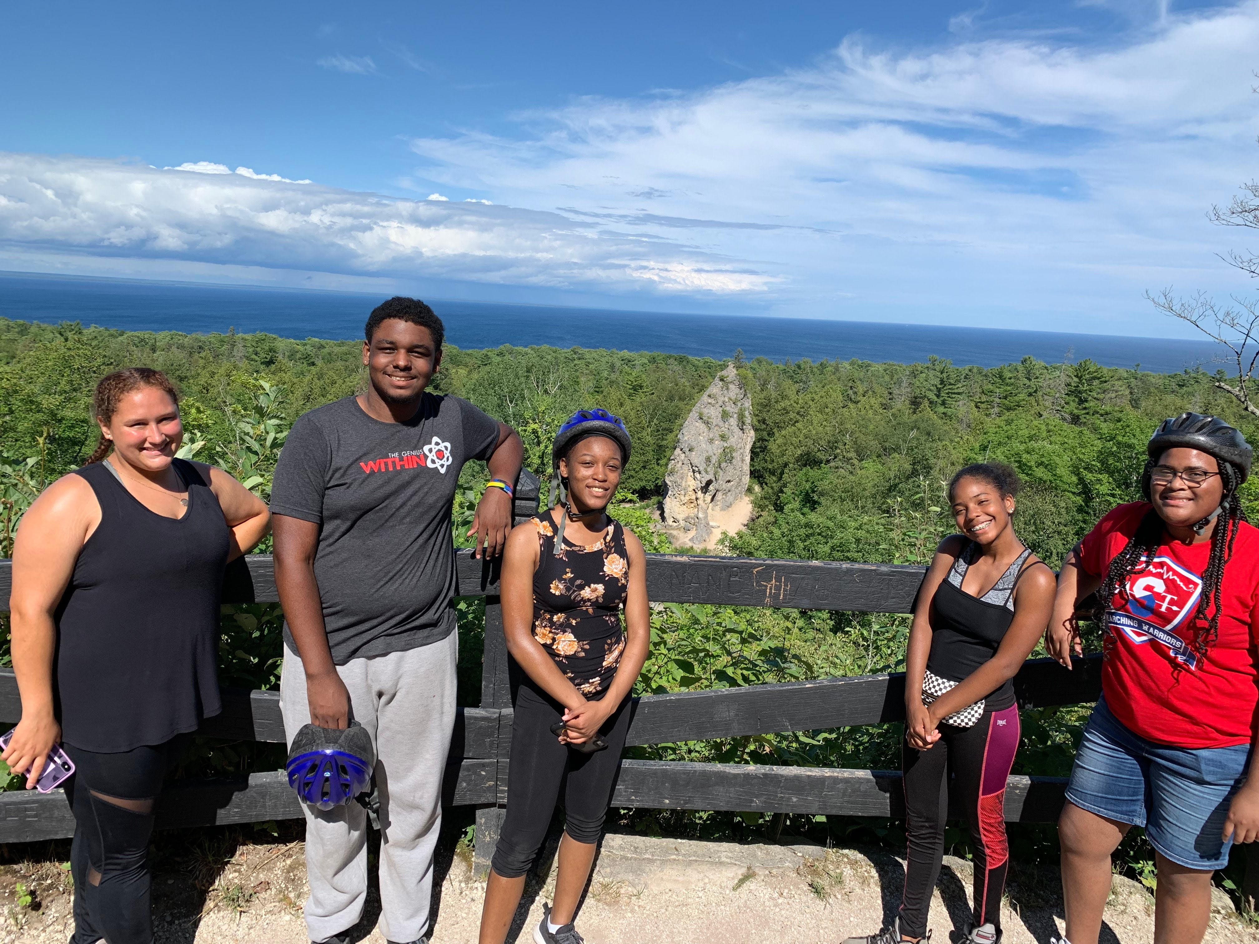
DCIM101GOPRO
DCIM101GOPRO


