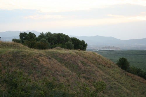
 Starting in 2016, the Project plans to use multiple geomorphological approaches to reconstruct the landscape and vegetation and to detect man-made changes.
The main methods to be used are borehole core sampling and electrical resistivity tomography (ERT). The core samples will be studied to observe stratigraphy, soil types, molluscs and microfossils, and any included material such as carbon, seeds or pollen. ERT provides a cross-section of stratigraphic layers underground and is used to further reconstruct the geological history of the area.

OLYNTHOS PROJECT


