
Initiated by the state legislature the same year Michigan gained its statehood, the Geological Surveys of Michigan were an early attempt to map the mostly uncharted territory of the Old Northwest.
Aside from their purely scientific merit, the Surveys provided valuable information about the lumber, agriculture, and mining resources and opportunities present in the new state, which helped attract settlers and businesses to Michigan in its early years.
Although the work of the Geological Surveys continues to this day and remains economically and scientifically important, this project is focused on the activities of the Survey until the end of Carl Rominger’s tenure, due to the greater historical significance of that era.
The First Geological Survey
The First Geological Survey began in 1837, with Douglass Houghton personally leading the effort in both the political arena and in the field. The budget was highly constrained, and the first field season was short by the time preparations had been completed, but Houghton and his assistants managed to investigate a number of salt springs and collect 250 specimens of birds before winter hit.
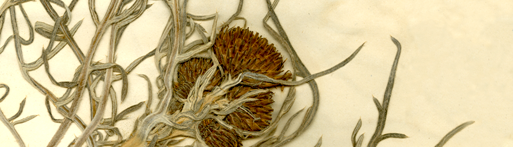
The field season of 1838 was more productive; an increased budget allowed for additional specialized assistants, including a topographer and a dedicated botanist. Over the next two seasons, many biological specimens were collected, salt springs were improved with an intent to earn a profit for the state, and waterways and lake coasts were surveyed.
By an act of the state legislature, the University of Michigan was designated the official repository of specimens collected by the Survey. However, the University had just been moved from Detroit to Ann Arbor in 1837, and did not begin holding classes until 1841– by which time it had already amassed an impressive natural history collection, thanks to the efforts of Houghton and his assistants.
Unfortunately, due to a financial panic, the funding for the biological portions of the Survey was discontinued in the fall of 1839. Additionally, Houghton’s time was stretched too thin for him to devote as much time to surveying as he wanted. Nonetheless, the Survey continued its efforts, and by 1845 nearly the entire state had been thoroughly mapped, including mineral deposits and suitable agricultural land. These discoveries almost certainly helped draw settlers to the new state; most of the land had previously been thought unfit for farming, and the copper deposits of the Upper Peninsula promised great wealth.
The First Survey was cut tragically short in 1845, when Houghton drowned in an autumn storm on Lake Superior. Unfortunately, the manuscript of Survey findings that Houghton had nearly completed was never published, and has been lost. His field notes and his legacy, however, remain.
The Second Geological Survey
Due to an increased interest in developing the state’s salt spring resources, the Michigan legislature re-established the Geological Survey in 1859. Alexander Winchell, a professor and museum director at the University of Michigan, was named State Geologist and leader of the Second Geological Survey. Unlike the previous effort, the Second Survey was almost entirely focused on geological and topographical mapping, and biological collecting was almost nonexistant. However, N. H. Winchell, Alexander’s cousin, accompanied the surveyors and botanized somewhat sporadically; although there are rather extensive lists of plants observed, very few specimens were collected– none have yet been found at MICH.
The Second Survey was quite brief– it ended in 1862, due to financial shortages caused by the Civil War.
The Third Geological Survey
After the Civil War had ended, public interest in geological work again compelled the legislature to enact a Survey, and the Third Geological Survey of Michigan began in 1869, just seven years after the end of the Second. Initially, it was led by Alexander Winchell, who also led the Second Survey. However, Winchell retired from both the University and the Survey in 1871, and this position was assumed by Carl Rominger, a German physician and amateur geologist who had long been a resident of Ann Arbor, where he had made a name for himself as both a doctor and a scientist.
Rominger was an extremely dedicated State Geologist– despite working almost entirely alone, he completed extensive stratigraphic and paleontological work in the Lower Peninsula. His works include a description of the basin structure of the Michigan region (an expansion of an idea held, but not elaborated upon, by both Houghton and Winchell), and a very detailed paper on Michigan’s fossil corals.
Both Winchell and Rominger are especially significant in the history of the University of Michigan because, aside from their roles as State Geologists, both were also intimately involved in the fledgling Museum of Natural History. Winchell, as professor of Geology, Zoology, and Botany, was also director of the Museum from 1855 until 1873; during this time he published an extensive report on the Museum’s collections. Although Rominger was never a professor or director, he sold his enormous collection of American and European fossils to the Museum, which had been carefully cataloged and included many type specimens.
Although stratigraphic and geological outlines had essentially been completed by the end of the 19th century, the Survey continues to this day. It has been through a number of changes, however: around 1900 the Survey lost its University connection, but regained funding for biological work; in 1920 the non-topographical duties of the Survey were assumed by the Michigan Department of Conservation, then the Department of Natural Resources in 1968, then the Department of Environmental Quality in 1995; the Survey regained its academic ties in 2011, when it was transferred to Western Michigan University due to cuts in state funding severely limiting its activities.
The Survey is currently overseen by Western Michigan University’s Department of Geosciences and directed by John Yellich. Information about and data from the Third Survey can be found here.