.
.
Welcome!
The HyLUCC Lab studies and develops satellite remote sensing technology to answer:
- How is climate change impacting Earth?
- How do we predict hydroclimatic natural hazards?
- How can we be more resilient to the effects of climate change?


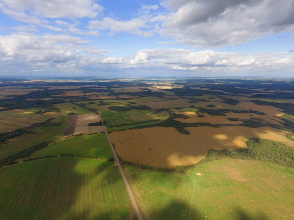
How does satellite remote sensing help us track the effects of climate change?
HyLUCC End-of-Year Presentations featuring:
- Betty Jahateh, Master of Science, Earth and Environmental Sciences (EARTH)
- Yinjiao Zhong, Master of Science, School of the Environment (SEAS)
- Md Ehsan Alam, Master of Urban Planning, Taubman College of Architecture and Design
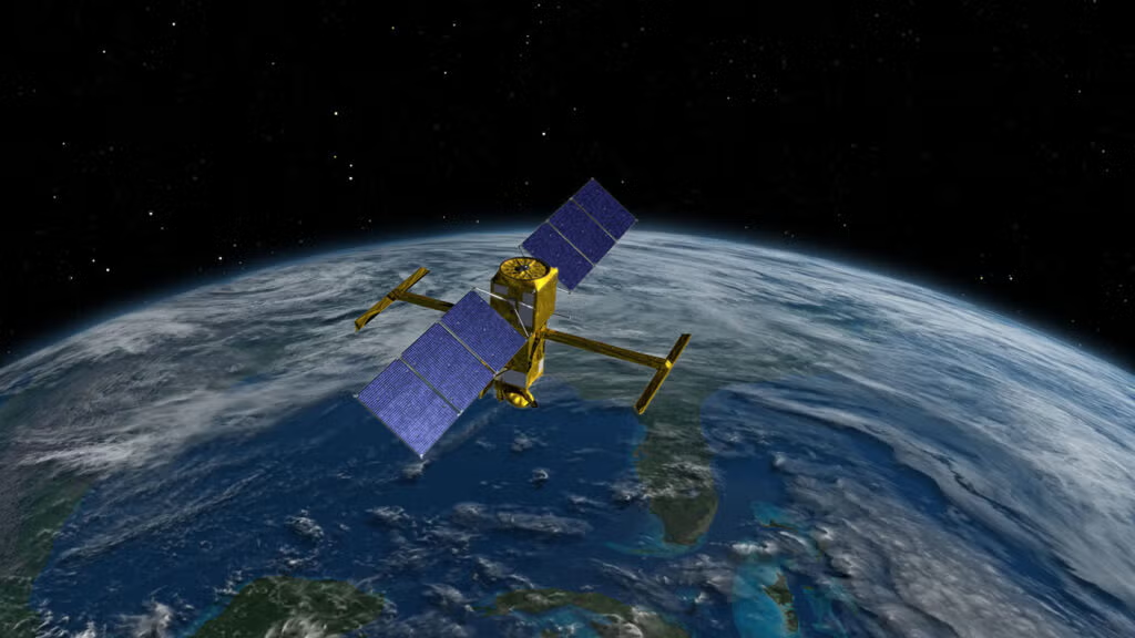
Recently Launched NASA Satellites Enable Novel Observations of Hydrologic and Ecosystem Quantities
Global Coverage of the Surface Water and Ocean Topography Mission
