Tag Archives: Sleeping Bear Dunes

Earth Camp 2015 – Day 6 (Sleeping Bear Dunes)

I woke up to this headline in the news today:

Sleeping Bear Dunes ranked 13th in nation for number of search and rescue operations

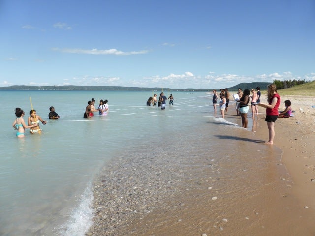
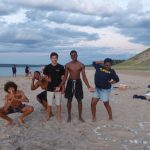
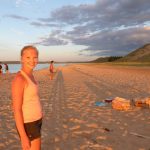
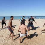
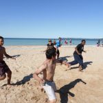
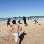
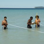
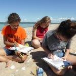
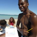
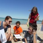
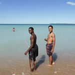
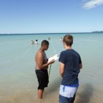
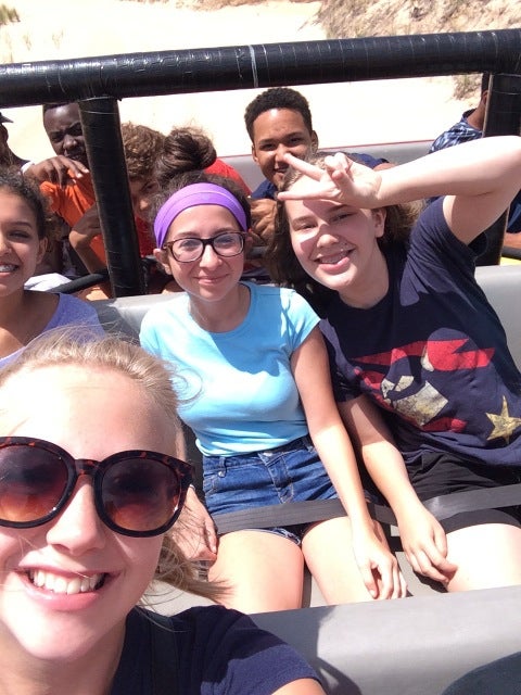
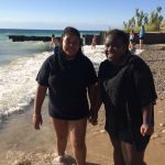
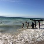
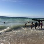
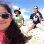
Our group made it through our 3 days without any emergency assistance needed, I’m glad we didn’t add to this statistic!

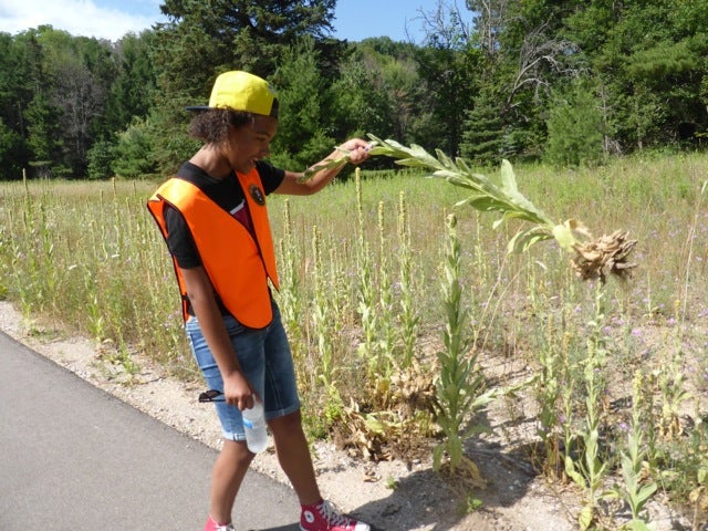
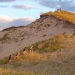
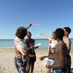
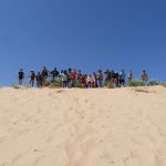
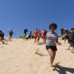
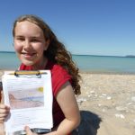
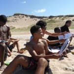
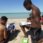
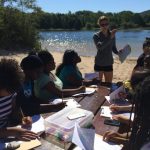
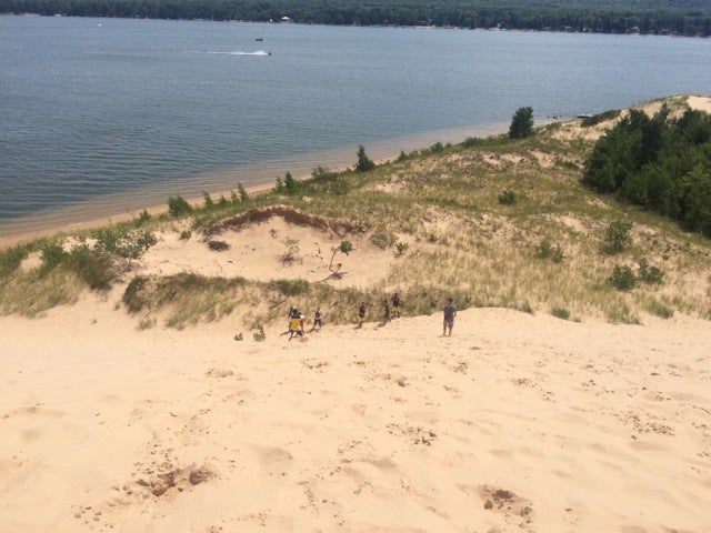
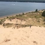
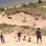
Our last day of Earth Camp was a short service project in Sleeping Bear Dunes National Park. Students pulled common mullein from the sides of the Heritage Trail, a bike path that runs through the park. This invasive plant can remain dormant for years and starts to grow when it is disturbed – this happened when the ground was dug up to put in the new bike path.

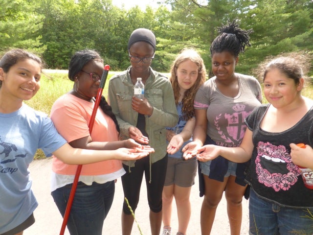
Along the way, students found wild raspberry plants and had their first experience picking and eating raspberries from the wild – a perfect snack along our route!

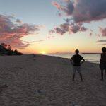
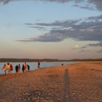
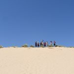
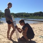
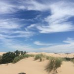
Our service project was a nice way to give back to the park that gave our group so many amazing experiences and memories.

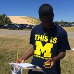
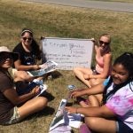
Thank you students and staff for a great Earth Camp 2015!

P1020883 P1020885 P1020886 P1020889 P1020890


Earth Camp 2015 – Day 5 (Sleeping Bear Dunes)

Yesterday the students got to see and explore the dunes and Lake Michigan – some for the first time. Today we put them to work mapping areas around the dunes.

In the morning, we reviewed map basics and the students learned how to use the length of their stride to measure distances on the ground. They also learned how to use GPS units to determine latitude, longitude, and elevation.

We travelled to the base of the dune climb where students were given an aerial image of Sleeping Bear Dunes and needed to put information on it to make it a useable map. This included a title, scale bar, latitude, longitude, and elevations. To create a scale bar from only an image, the students used their stride length (calculated earlier in the day) to measure the actual distance of the road, then measured the same distance on the map. Using these two numbers, they were able to determine an accurate scale for our image. They used the GPS units to add latitude, longitude, and elevation.

After this, the group climbed up the very steep and very challenging “Dune Climb”. Here are a few videos:

After lunch, we headed to Sleeping Bear Point to map the beach and create beach profiles – essentially a map of the bottom of the lake as viewed from the side. Students were in the water taking measurements of depth and “distance from shore”.

After this, it was free time on the beach and our Last-Night-Of-Camp bonfire. The students turned the tables and decided to teach the instructors something – the Nene Dance. You can see the results of this “lesson” here:

It was our last night of Earth Camp and we let the students know what an amazing group they all were. All of the staff were incredibly impressed with their effort, teamwork, knowledge, and excitement.

P1020742 P1020839 P1020791 P1020734 P1020673 IMG_0373

Earth Camp 2015 – Day 4 (Sleeping Bear Dunes)

We made it to the western side of the state today. Most of the students were seeing the dunes for the first time.

We explored Silver Lake dunes on a guided dune buggy and got out mid-ride to run down the largest dune there – then climb back up. You’ll notice on our YouTube videos we had a few spectacular face plants.

Then we headed north towards Sleeping Bear Dunes and went to the beach at the Point Bestsie Lighthouse for dinner and swimming at the beach.

We finished the day relaxing at the hotel. It was an incredibly fun day, but also very special to be able to share most students’ first trip to the dunes with them.

Tomorrow we will explore the park. Students will be mapping the park and creating beach profiles.

IMG_0305 IMG_0284 IMG_0277 IMG_0264