
Tel Kedesh has been excavated using a modified baulk-debris method of Wheeler and Kenyon, with further refinement from the excavation and recording systems employed at Gezer, Corinth, and Tel Anafa. Excavation and recording systems were devised in order to: 1) remove deposits in the reverse order of their deposition (“last in, first out”), 2) recover all cultural material, and 3) record in such a fashion as to allow the reconstruction of both site and excavation history.


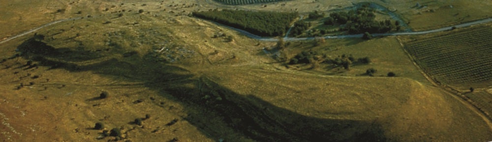
When Herbert and Berlin initially planned the excavation, a major priority was to create a unified grid numbering system for the entire southern tel, where work would be focused. The solution was to create a ‘master grid’ of twelve 90×90 meter areas*, designated W (west), C (central), and E (east) from west to east, and A-D from south to north. (Most of the PHAB is located in the CB area, with the very southern part falling in CA.) Then, each master area was divided into eighty one 10×10 meter squares, numbered from 1.1 in the southeast corner of the area to 9.9 in the northwest. During excavation, we usually focused on a quarter of a square at a time (i.e. a 5×5 meter area), but the enlarged (10×10 meter) square system facilitated our ability to expand over a larger area when necessary to expose a feature without confusing grid numbers.
Each soil unit removed within the 10×10 meter area was assigned a sequential three digit number, separated from the square number with a period. For example, the first unit excavated from area CA, square 5.4, would be CA5.4.001, the second CA5.4.002, and so on. A ‘unit’ could be archaeologically meaningful (e.g. a noticeable shift in soil color or composition) or arbitrary (e.g. at the end of the day). Each trench excavated anywhere from one to twenty or more units per day, depending on circumstances. Unit sheets recorded the size of the unit, opening and closing elevations, soil composition, volume (based on a count of buckets of soil removed), list of finds, brief description of the nature of the unit, and often a sketch of the unit and its relationship to other trench features. Daily top plans were also drawn of all units excavated and major features exposed that day. Architectural features such as walls and floors were given a sequential three digit locus number (see below).
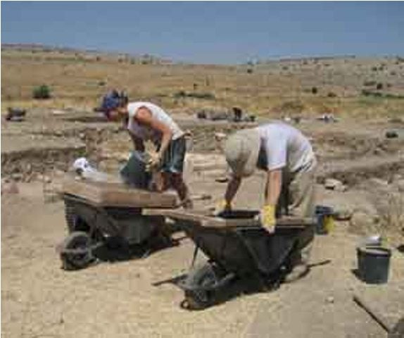
Due to our goal of 100% retrieval, all soil was sifted and all observable cultural material collected, even from topsoil. The registrar recorded all non-ceramic finds and assigned them a tracking number; objects deemed to be of particular significance or interest were assigned an inventory number to be conserved, drawn and photographed, and saved for later study. All team members pitched in to wash pottery on the day it was found. Supervisors and assistant supervisors, with the help of the ceramicist and directors, read and recorded their pottery the following day whenever possible, but no more than two-three days after initial excavation. Pottery reading consisted of sorting identifiable sherds into piles, reserving diagnostic rims, bases, handles, and decoration for special examination, identifying the latest datable material (LDM), preservation condition, and chronological span of the material, and weighing pottery by ware. The pottery was then bagged and tagged for review at the end of the season during locusing.
The major innovation of the Kedesh excavation and recording system is what we call “locusing”, in which units are combined into stratigraphic phases called loci. Rather than assigning locus numbers to soil as we excavate, as many archaeology projects do, we wait until the end of the season, and especially after the pottery of the entire area has been read, to interpret the stratigraphic history of each area. At Kedesh, a locus represents an event that happened in the square, be it the building of a wall, the deposition of soil, the construction of a floor, the robbing of a wall, and so forth. Like units, loci are numbered sequentially using the area and square letters and numbers followed by a three digit identification number, but are differentiated in the recording system by omitting the periods. (For instance, the first locus identified in area CA square 3.4 would be CA34001.)
Supervisors decide which units (groups of soil) belong with which loci (event). Many factors go into determining how loci fit together, including soil composition, elevation, position of soil relative to architecture, and types, dating, and density of pottery and other finds. Once the supervisor determines the initial sequence and grouping, the team lays out all the pottery and other objects found in the square that season in sequential order, and the directors, ceramicist, supervisor, and students review it together. This allows us to look at everything – especially the pottery – more than once, jogs our memories, allows for corrections and refinements, and reduces errors. Then everything is labeled appropriately and packed for storage.
*Why 90×90 and not 100×100? Because, when divided into 10×10 meter squares, a 90×90 meter area will yield only single digit numbers (1-9), which makes computer entry and databases much easier to standardize and search.