Surface survey involves walking over the ground surface recording, mapping and collecting artifacts encountered. Like geophysical survey, the method allows for the covering of much larger areas than excavation does. It reveals patterns in the distribution of artifacts which may relate to the density of occupation, or to specialised activities taking place or favored goods being consumed. Such patterns also enable us to evaluate chronological differences in the occupation and abandonment of different neighborhoods and districts, thus building up a picture of the process of urban development.
At Olynthos, we are walking over the unexcavated surface of the city and its surroundings, observing surface material, collecting all diagnostic artifacts and sampling other artifacts. Our specific goals include an assessment of the likely location of the eastern boundary of the Lower City (Robinson’s ‘villa area’). Recording surviving evidence within the agricultural areas surrounding the two hills is particularly important as it is at risk of being destroyed by modern-day plowing. Combining surface survey with geophysics and (within the archaeological site) excavation, as we are doing, has been shown to be particularly effective in helping to build up a detailed picture of a settlement.
So far, a variety of artifacts from the surface have been collected, including pottery, tile, plaster, metal slag, millstones, and loomweights. The data are being compiled into density maps which show how much material was found in a given area.
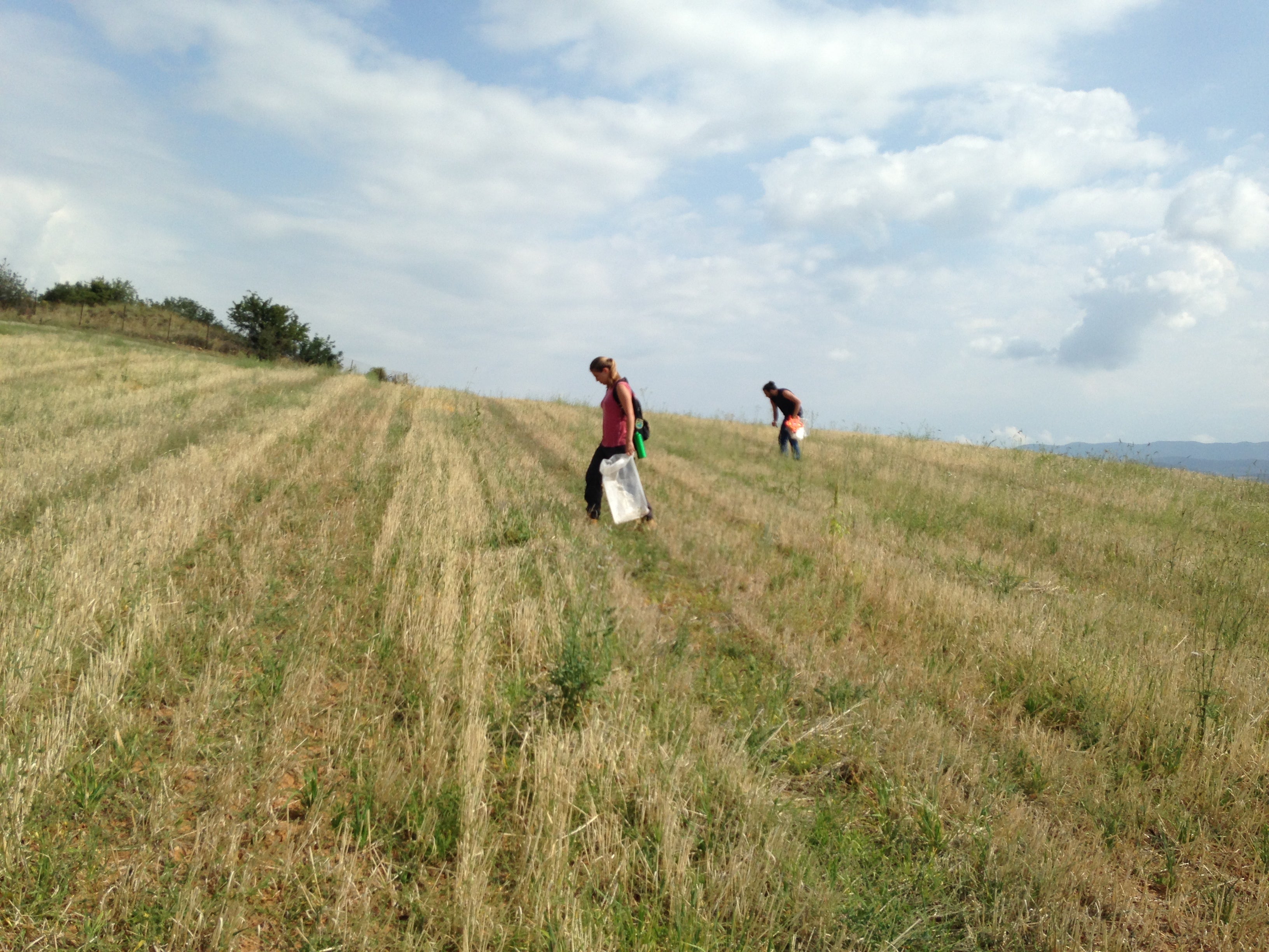
While surveying the areas outside the city proper, walkers are spaced at ten-meter intervals and collect artifacts within a two-meter corridor. This balances the need for systematic collection with available time and resources.
Daily Workflow of the Survey Team
Collection of artifacts is generally performed each day in the mornings. A record sheet is filled out for each field at the same time. Washing of artifacts takes place when the team returns to the study area at the archaeological site. Sorting of artifacts normally occurs after a lunch break in the afternoons. A separate data sheet is completed during the sorting process. The data from both sheets are entered into the database in the afternoons, along with other data, such as those from cameras, GPS, and other devices.
Further reading about survey:
Ohio State introduction to archaeological survey
Lolos, Y., Gourley, B. and Stewart, D. 2007. “The Sikyon Survey Project: a blue-print for urban survey?” Journal of Mediterranean Archaeology 20, 267-296.
Davis, J., ed. 1998. Sandy Pylos: An Archaeological History from Nestor to Navarino. Austin, TX.
Van Andel, T. H., and C. Runnels. 1987. Beyond the acropolis: a rural Greek past. Stanford.